Oudewater

Ascension day, beautiful weather, I really wanted to get out. So I stepped into my car with the kids and drove out of the city. When we passed Oudewater I thought it was enough, I parked the car and we started walking.

First we visited the ‘Witch Scale’ where people were weighed centuries ago to prove they were not witches. We proved to be no witches, so we set out for a walk out of Oudewater. We started along the river ‘Hollandse IJssel’, then returned along a smal road, through meadows and through a small nature park. The kids were overenthousiastic when thy saw hares in the meadows and a group of birds flying along.


IMG_0440 IMG_0440
IMG_0440
IMG_0443 IMG_0443
IMG_0443
IMG_0444 IMG_0444
IMG_0444
IMG_0446 IMG_0446
IMG_0446
IMG_0447 IMG_0447
IMG_0447
IMG_0451 IMG_0451
IMG_0451
IMG_0459 IMG_0459
IMG_0459
IMG_0465 IMG_0465
IMG_0465
IMG_0438 IMG_0438
IMG_0438


Total distance: 16933 m

Sleeuwijk

A short walk to the river beach near Sleeuwijk. Short, but with historic views of concrete pillars. These pillars were once ordered by the NATO, meant for a temporary bridge in case of need for troop movement for the cold war. One picture features the newer ‘Merwedebrug’ in the background.


IMG_0395 IMG_0395
IMG_0395
IMG_0393 IMG_0393
IMG_0393
IMG_0401 IMG_0401
IMG_0401
IMG_0392 IMG_0392
IMG_0392


Total distance: 1376 m

Loonse en Drunense Duinen

Just over a month ago we were ice-skating, then it was freezing cold. Today I am walking on the Loonse en Drunense duinen with a shirt, feeling warm.

I went for a walk with the kids. Building a ‘house’, climbing a tree… As you can see on the pictures we weren’t alone. In the woods was quiet, quiet for us to spot some deer.

That night we ate outside for the first time this year!

IMG_0336 IMG_0336
IMG_0336
IMG_0333 IMG_0333
IMG_0333
IMG_0324 IMG_0324
IMG_0324
IMG_0323 IMG_0323
IMG_0323
IMG_0322 IMG_0322
IMG_0322
IMG_0319 IMG_0319
IMG_0319
IMG_0339 IMG_0339
IMG_0339
IMG_0340 IMG_0340
IMG_0340
IMG_0352 IMG_0352
IMG_0352
IMG_0373 IMG_0373
IMG_0373
IMG_0376 IMG_0376
IMG_0376
IMG_0367 IMG_0367
IMG_0367


Total distance: 4862 m

Not Hiking but Skating

This day it was possible to skate on the lake near Gouda. The last time this was possible has been many years ago, so I took my kids and started off to the lake. People were making a circuit on the ice, so we knew we would be safe there.

We skated a few rounds, then went home for some warmth. Have a look at the pictures, it was so much fun!

WP_20180303_15_17_20_Pro WP_20180303_15_17_20_Pro
WP_20180303_15_17_20_Pro
WP_20180303_15_03_42_Pro WP_20180303_15_03_42_Pro
WP_20180303_15_03_42_Pro
WP_20180303_15_03_38_Pro WP_20180303_15_03_38_Pro
WP_20180303_15_03_38_Pro
WP_20180303_14_41_41_Pro WP_20180303_14_41_41_Pro
WP_20180303_14_41_41_Pro


Total distance: 1235 m


Around Chaam

This time I had a day and a half to hike. Leaving on Saturday morning I had an appointment on sunday afternoon. A little more than a day’s hike was my focus.

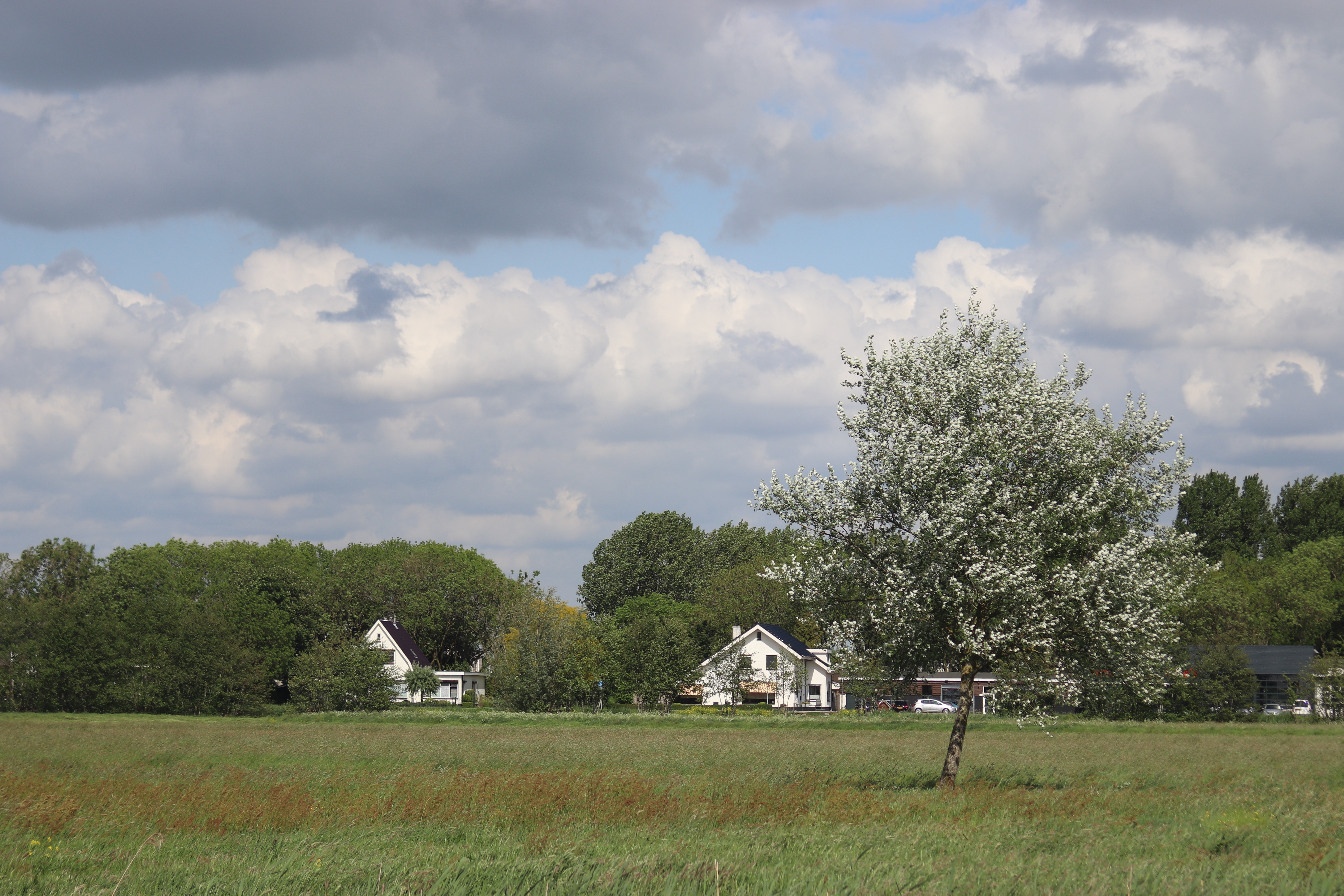
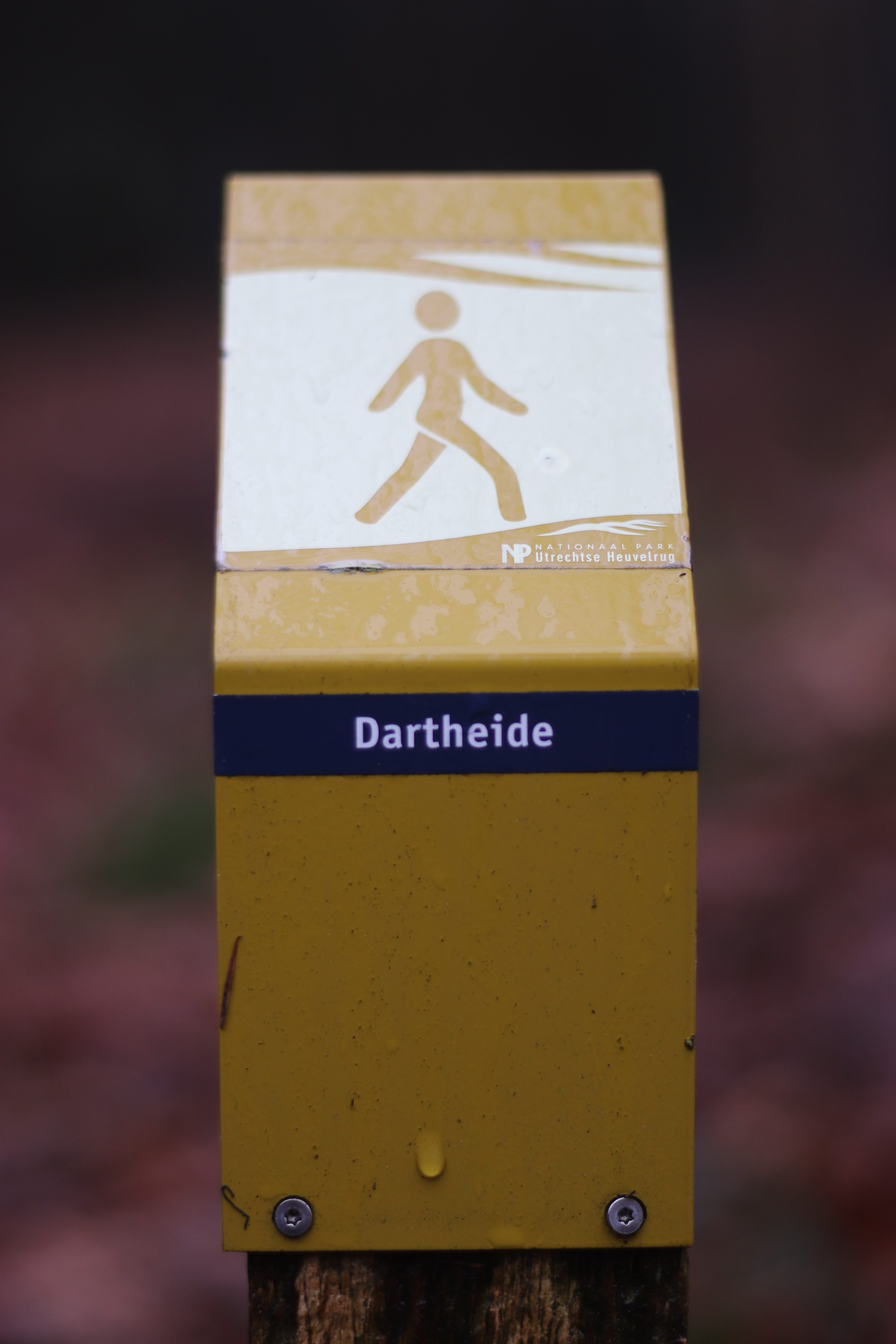
I like RouteYou, I searched for a good spot on the map and I found it near Chaam. This is a small town near the Belgian border, not to far a drive from my place. I planned a route around Chaam, crossing the ‘Chaamse bossen’ (woods of Chaam) and the ‘Strijbeekse Heide’ (Moors of Strijbeek). The route turned out to be around 30 kilometers, a good distance for a day and a half. I used it for general directions, so I actually hiked a different route on places where I saw a better path. I also hiked the route backwards, this because then I would end my first day near a ‘pole-camp-spot’.


Day 1

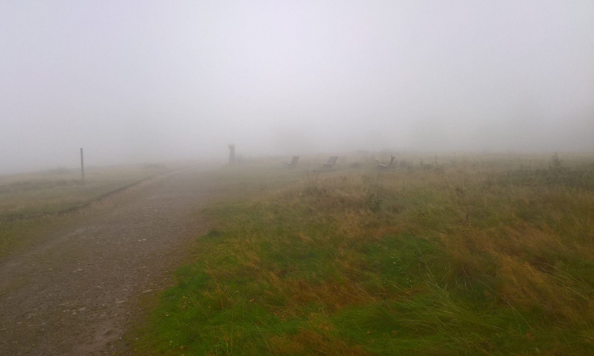
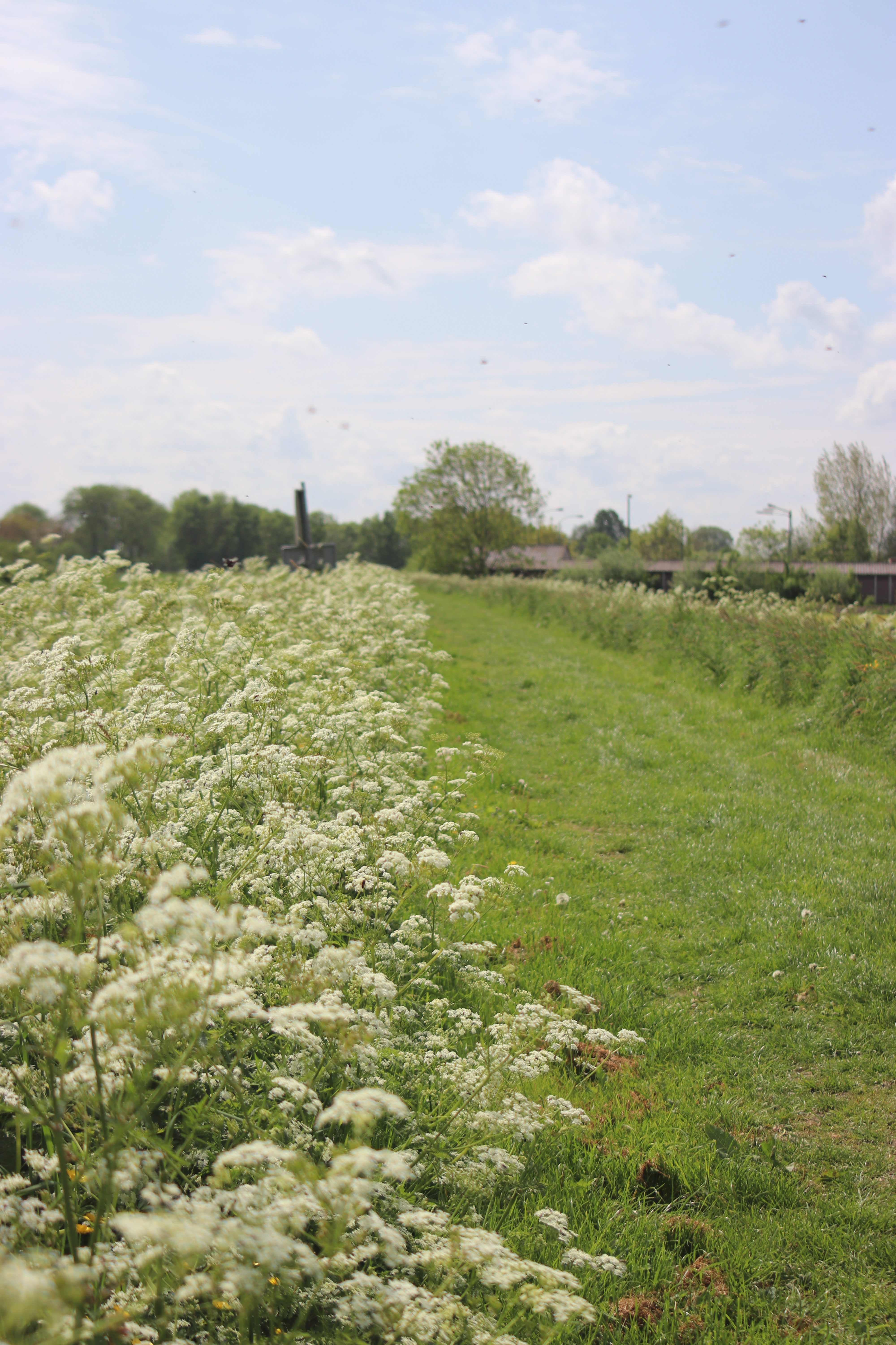
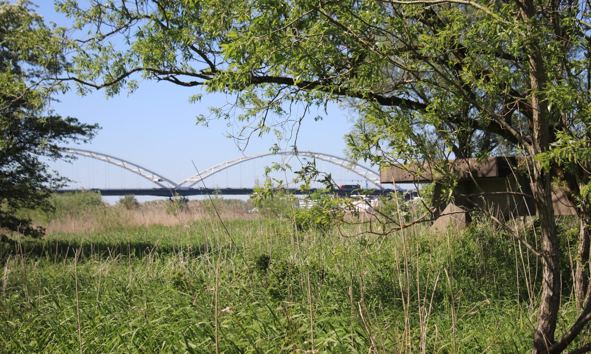
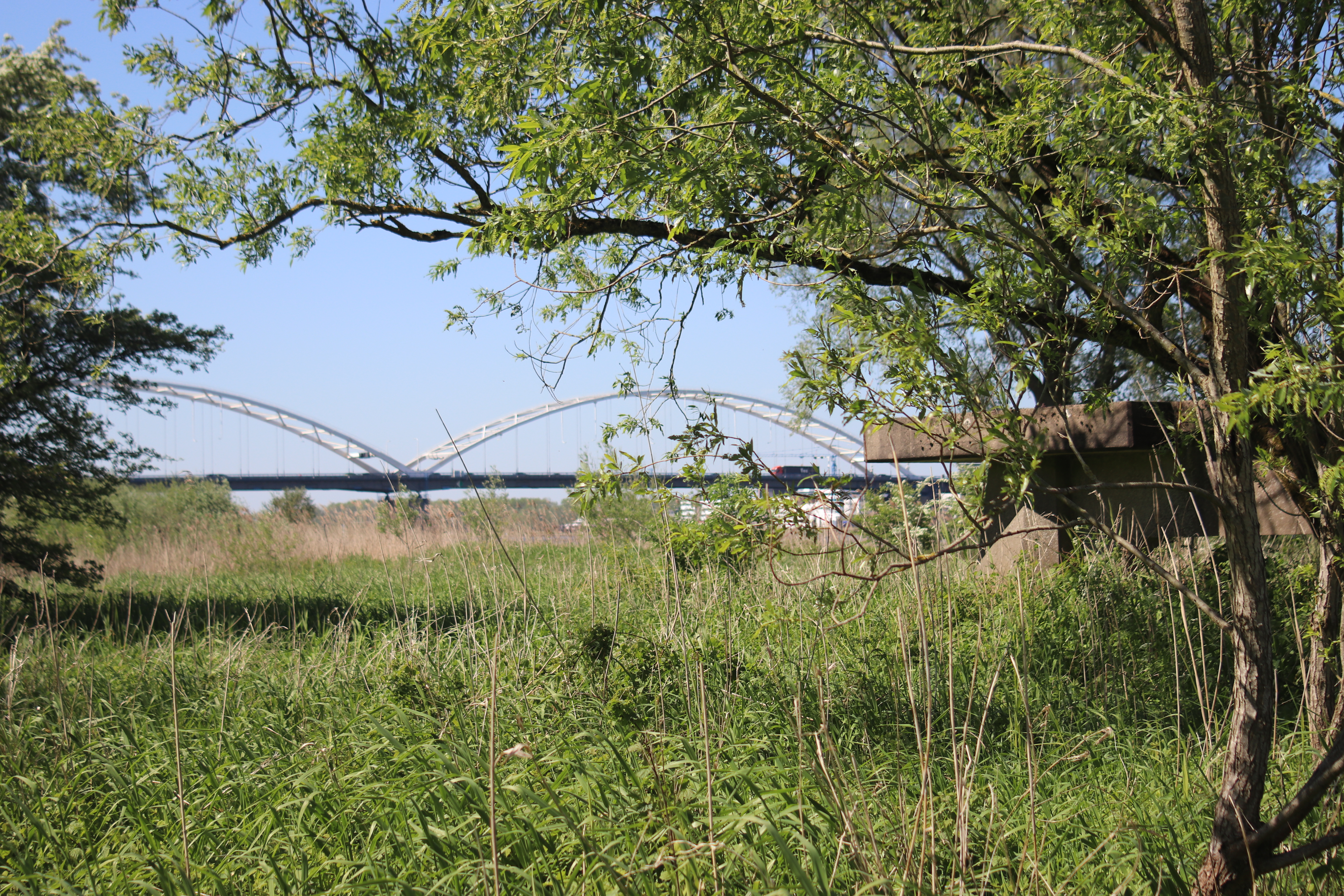
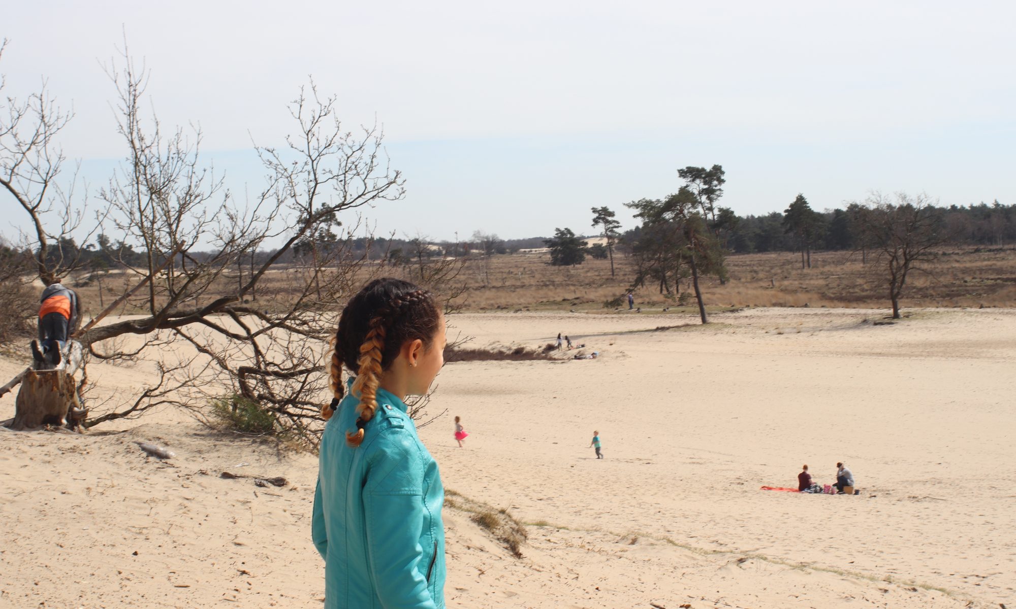
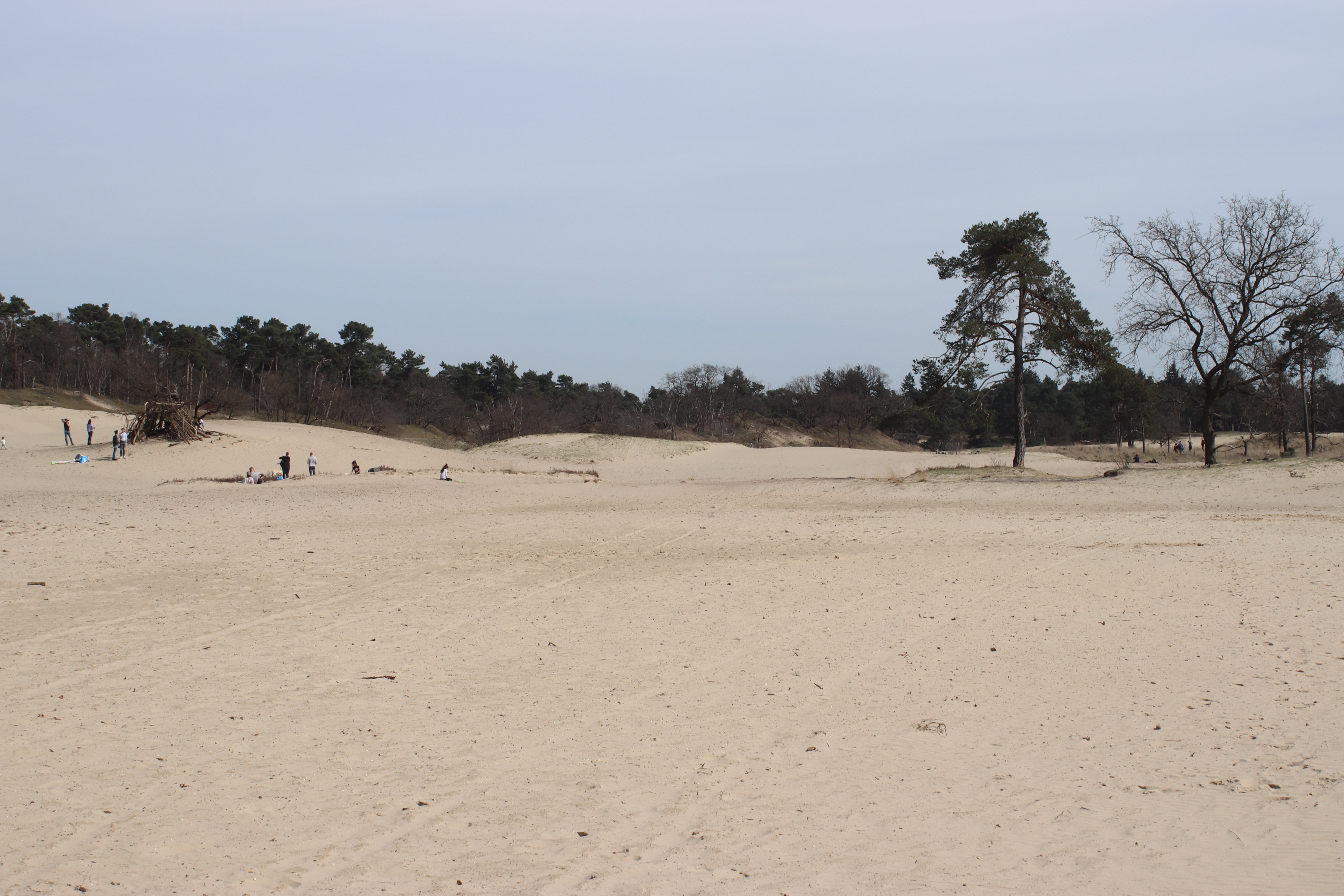
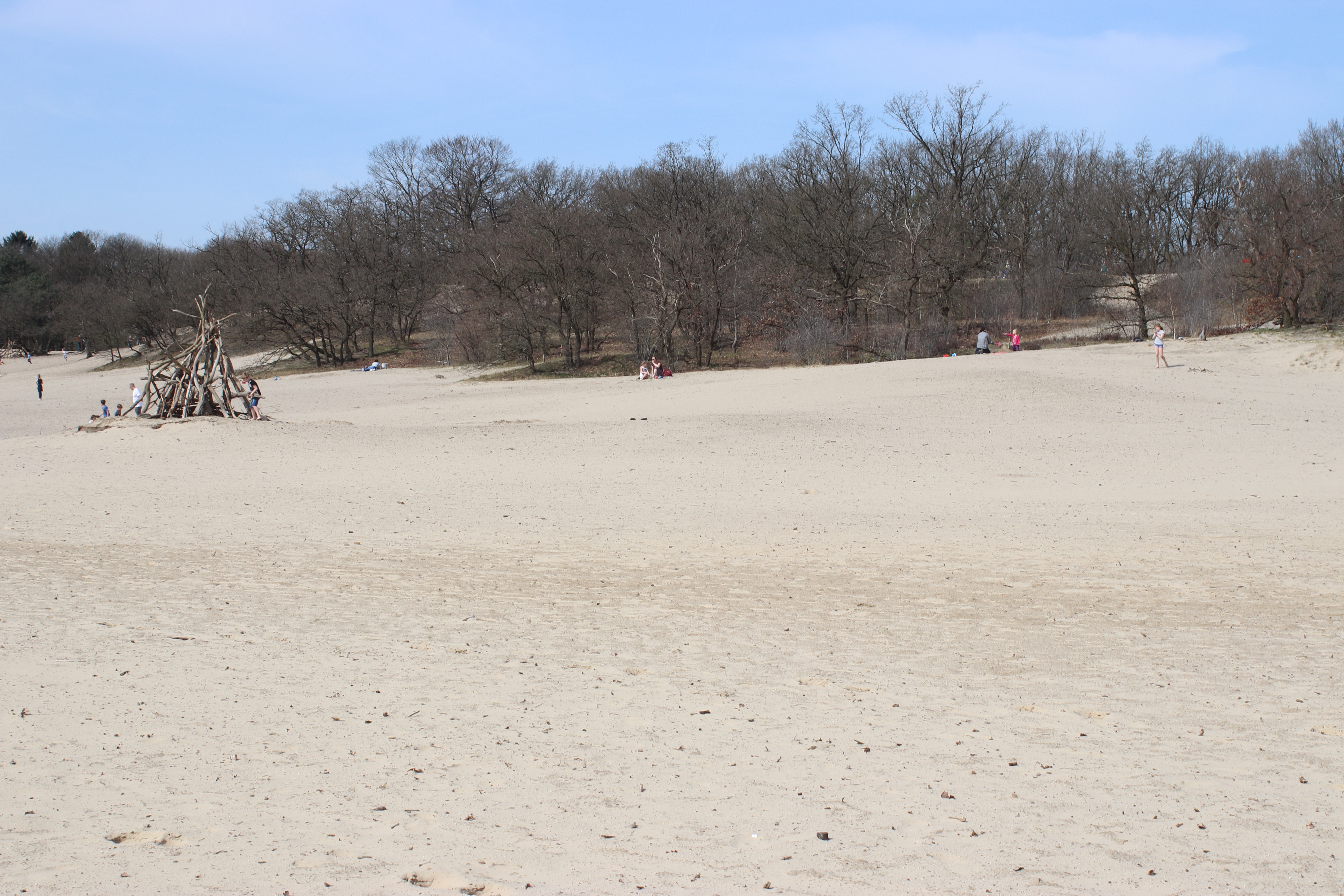
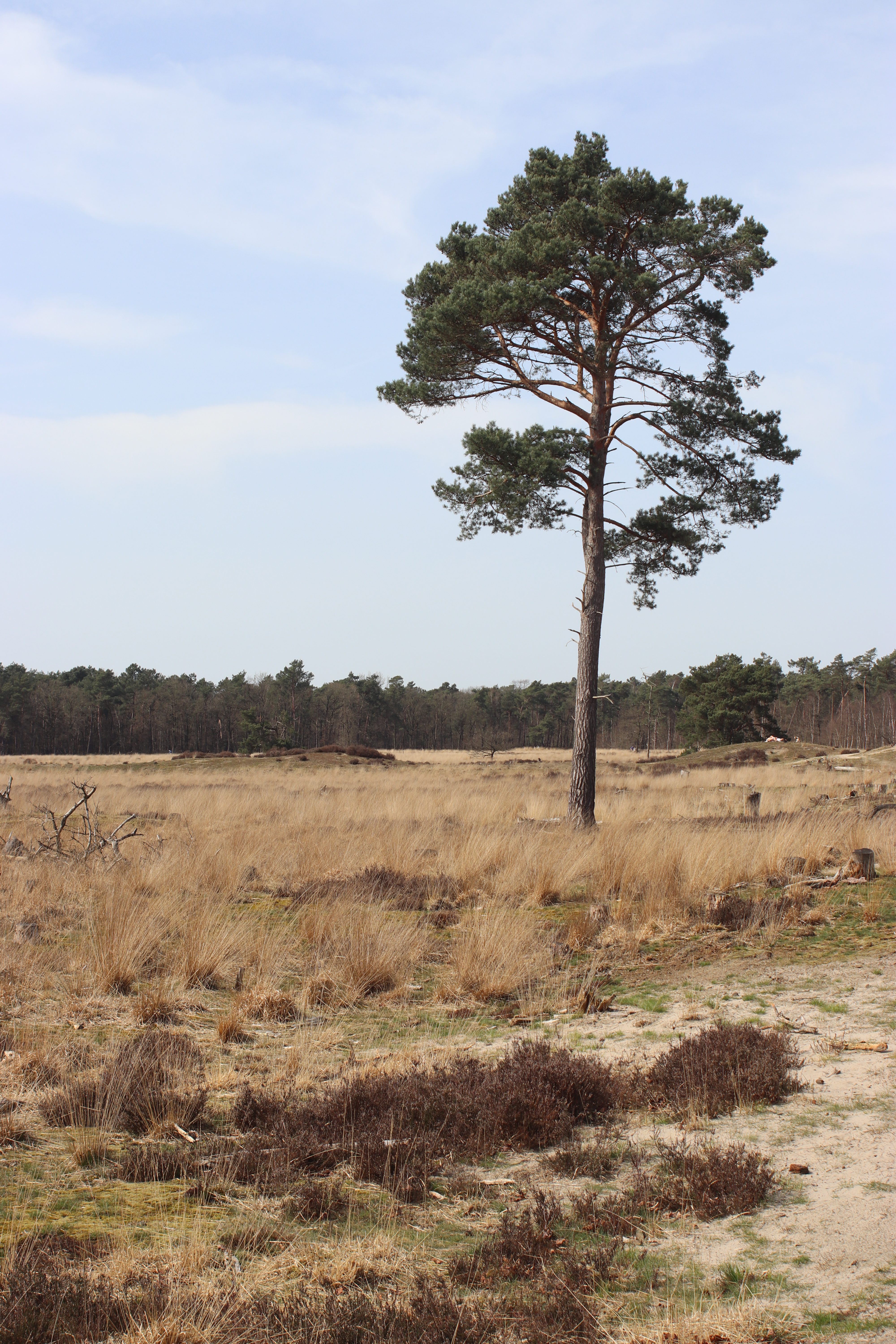
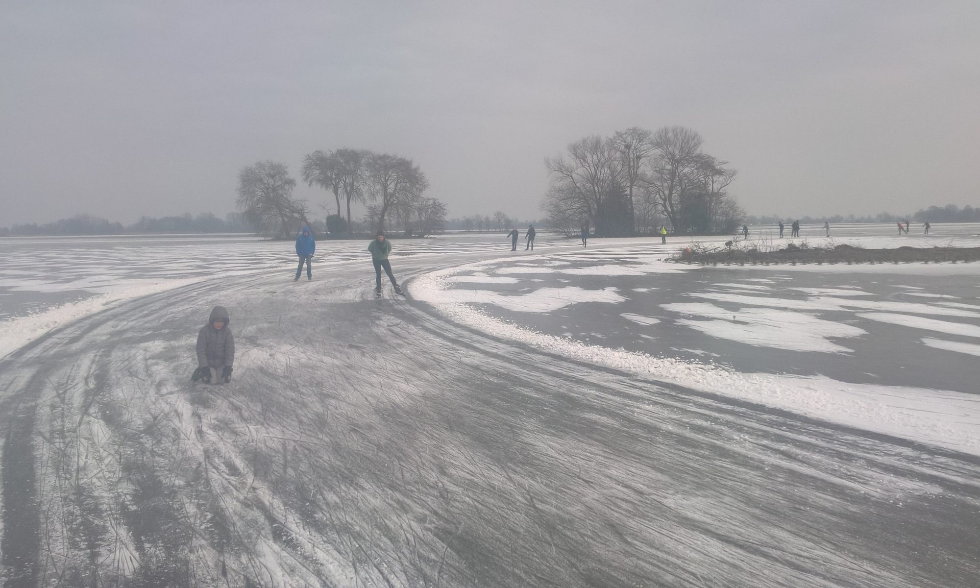
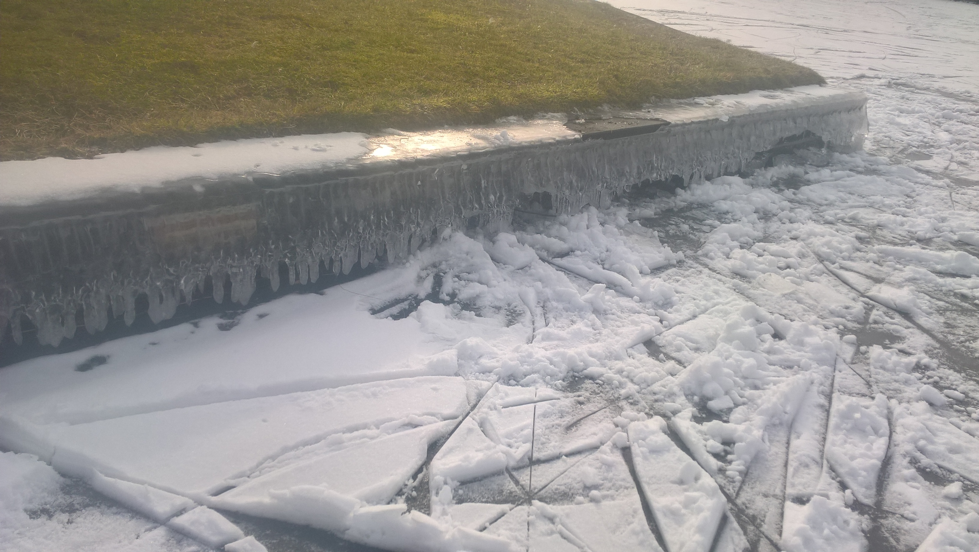
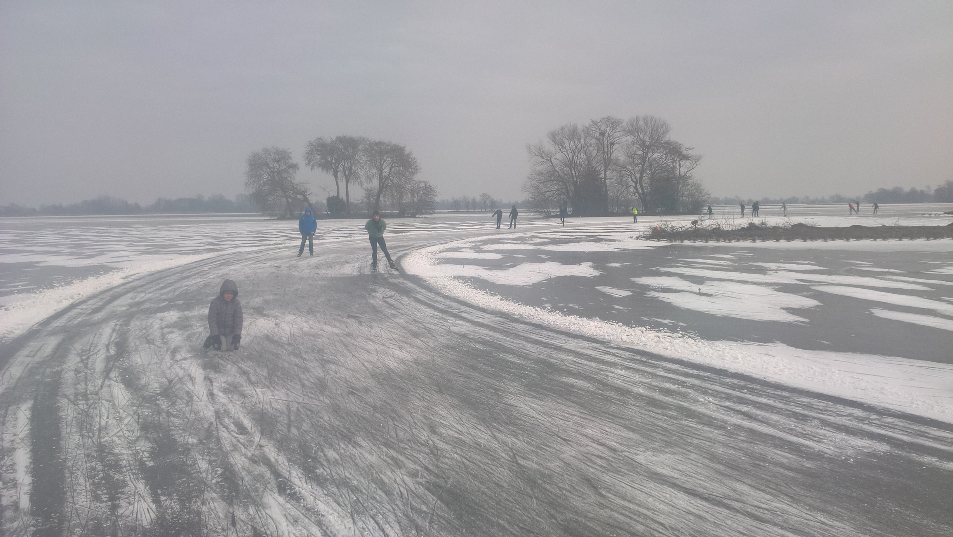
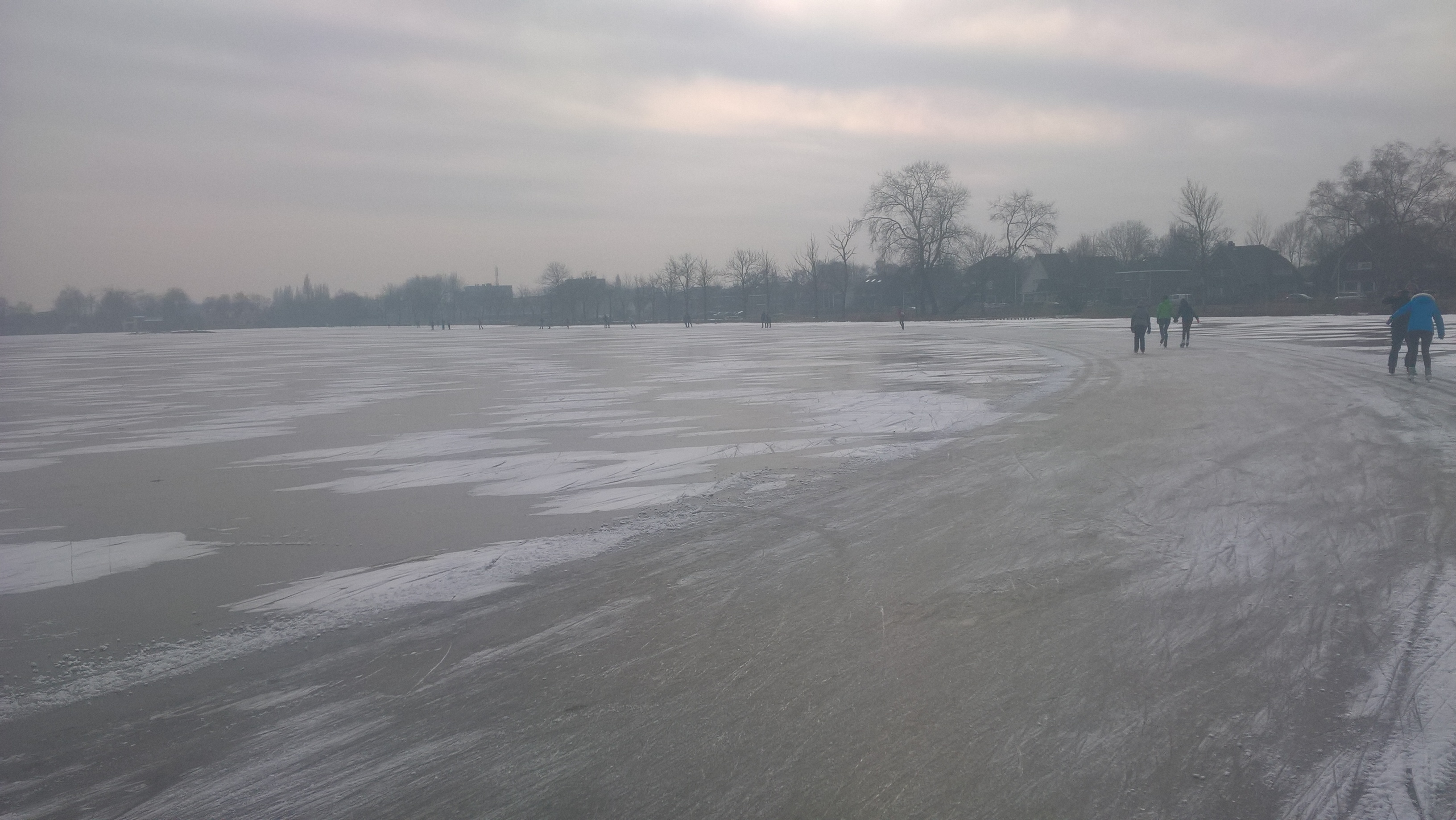
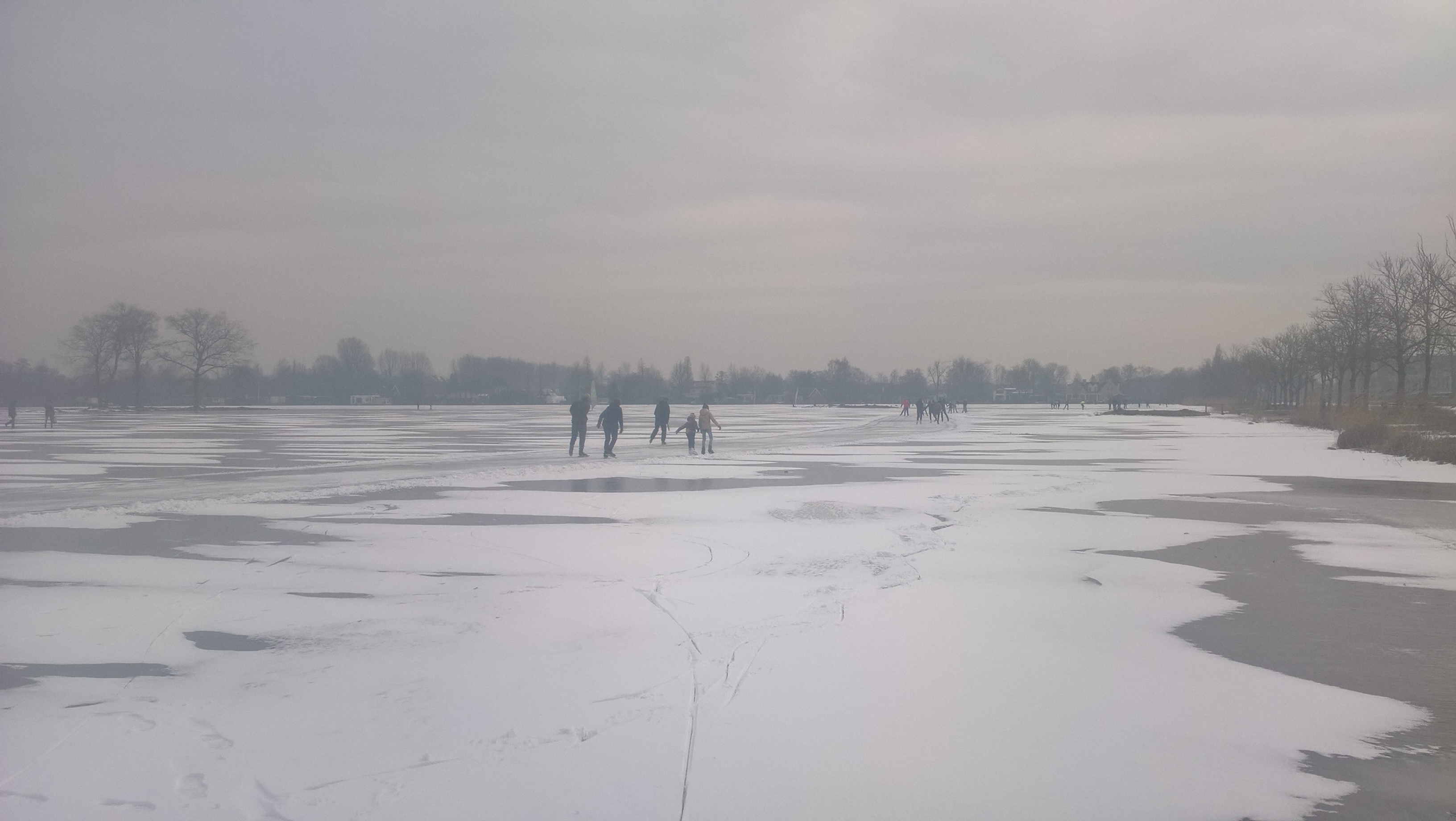
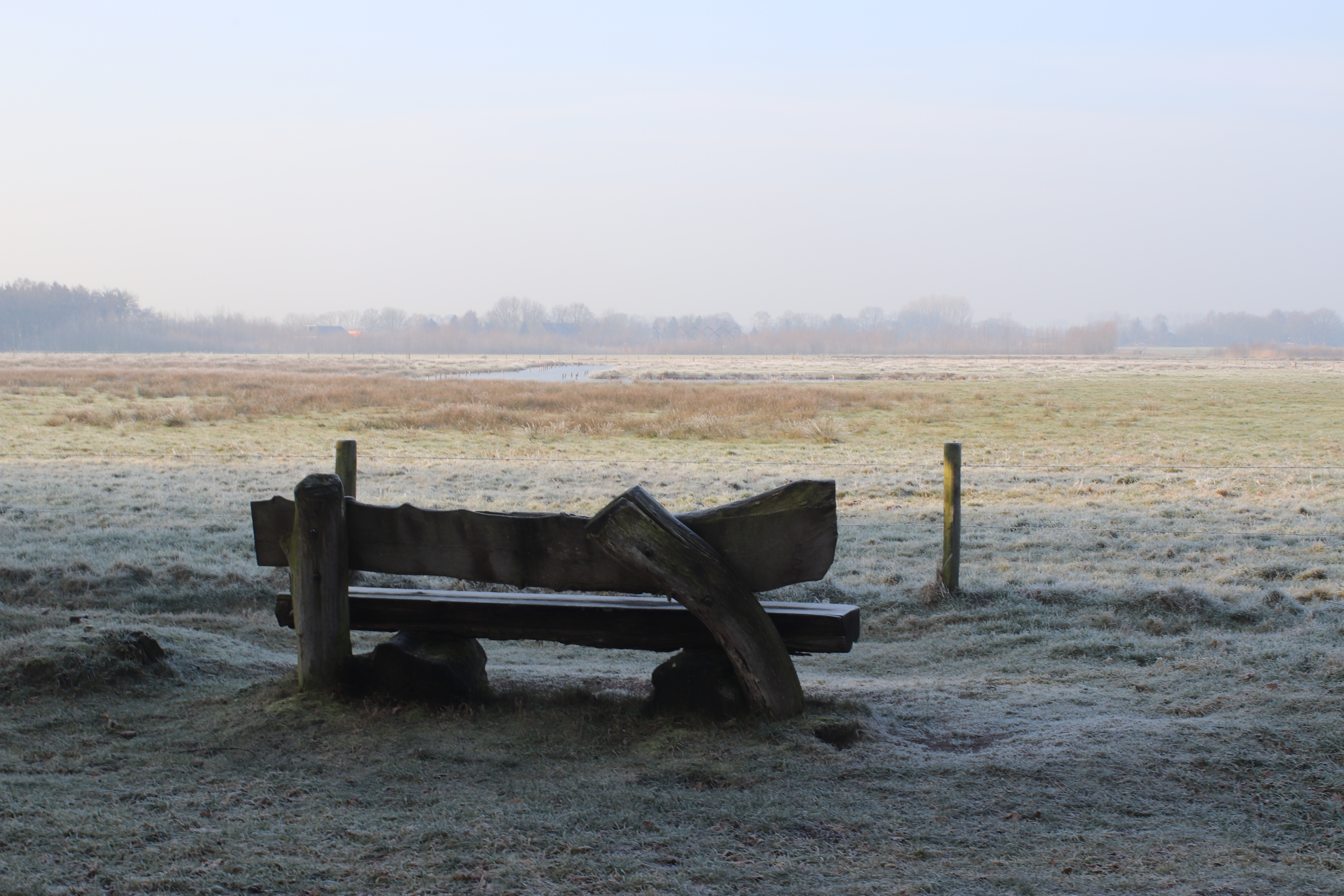
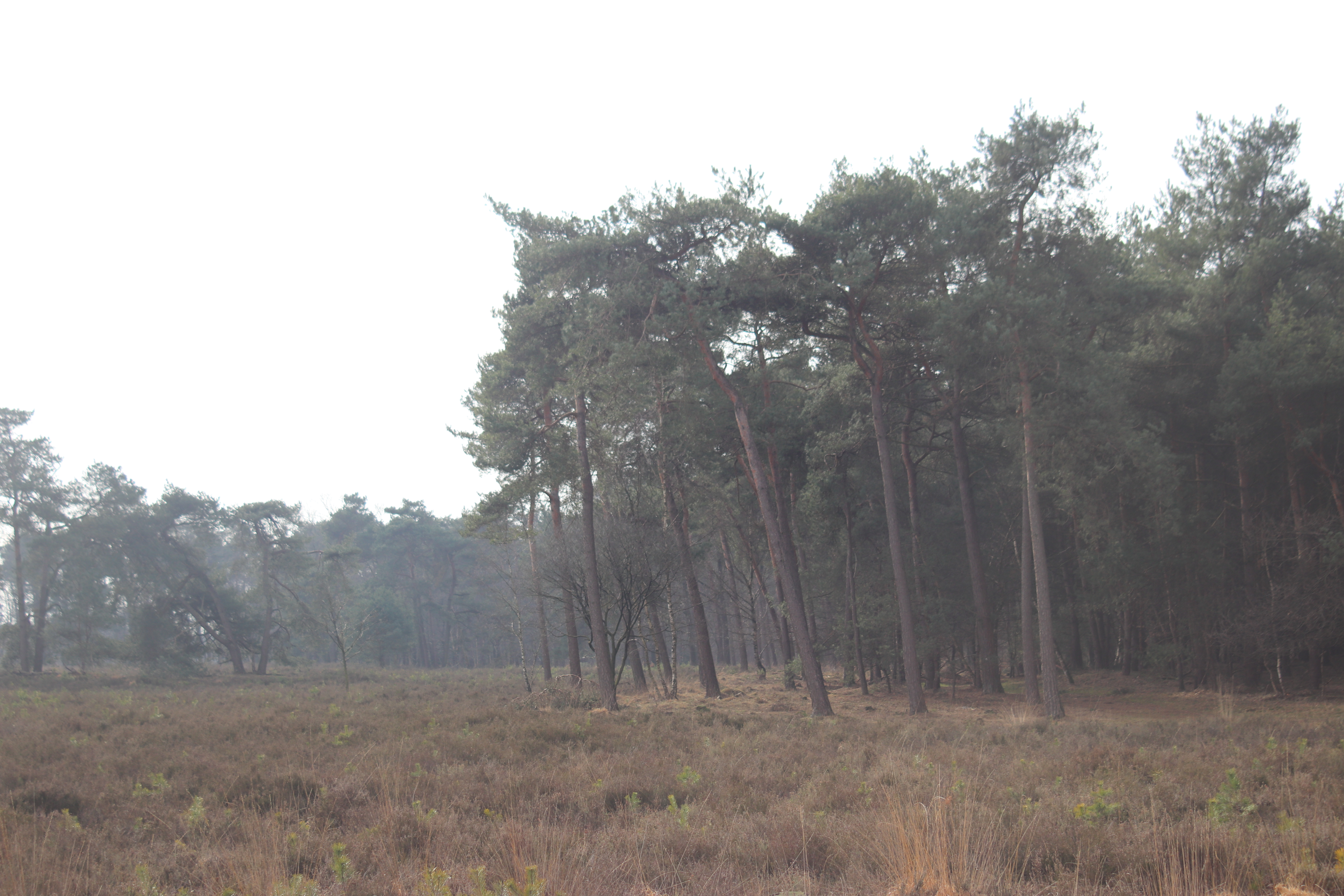
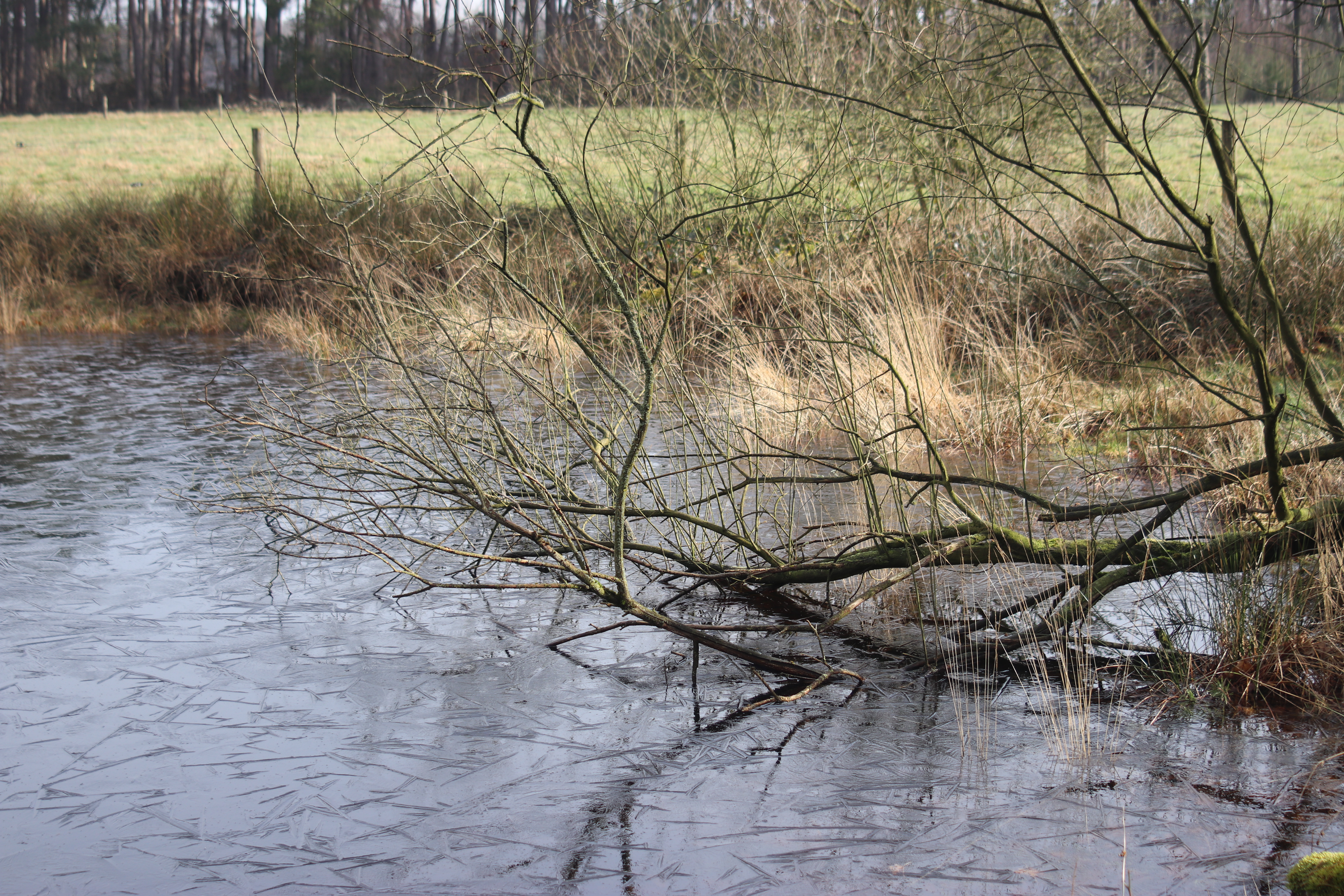
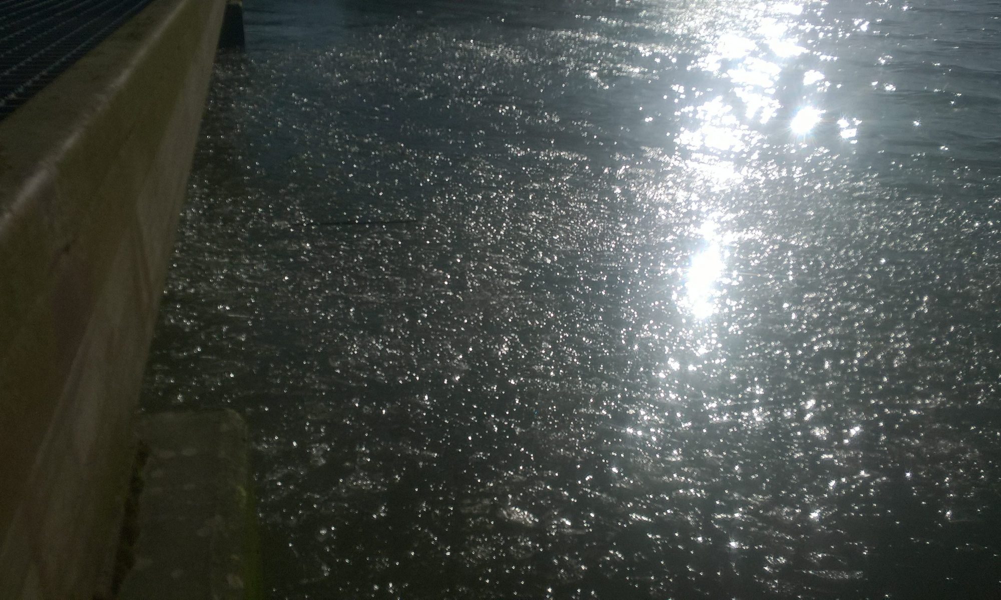
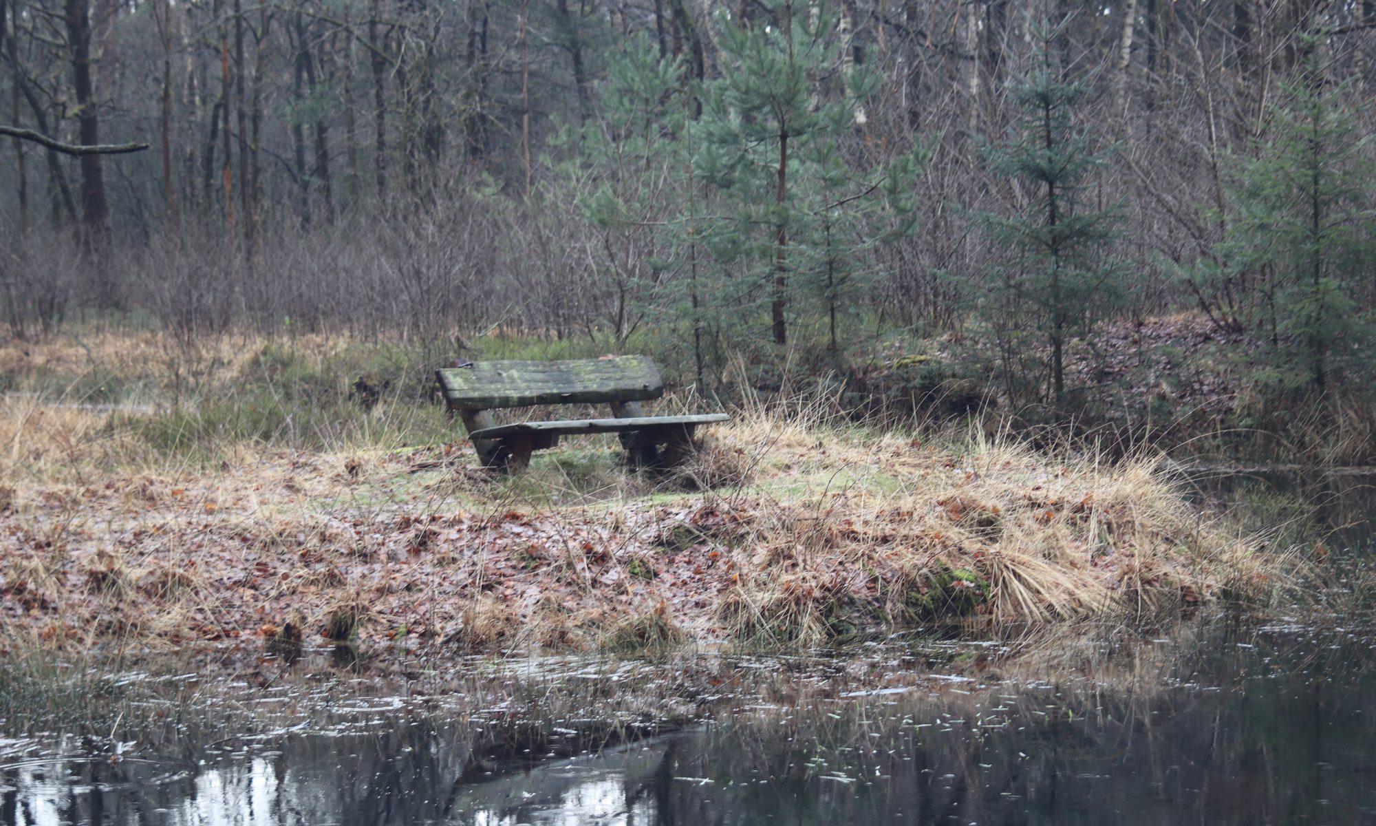
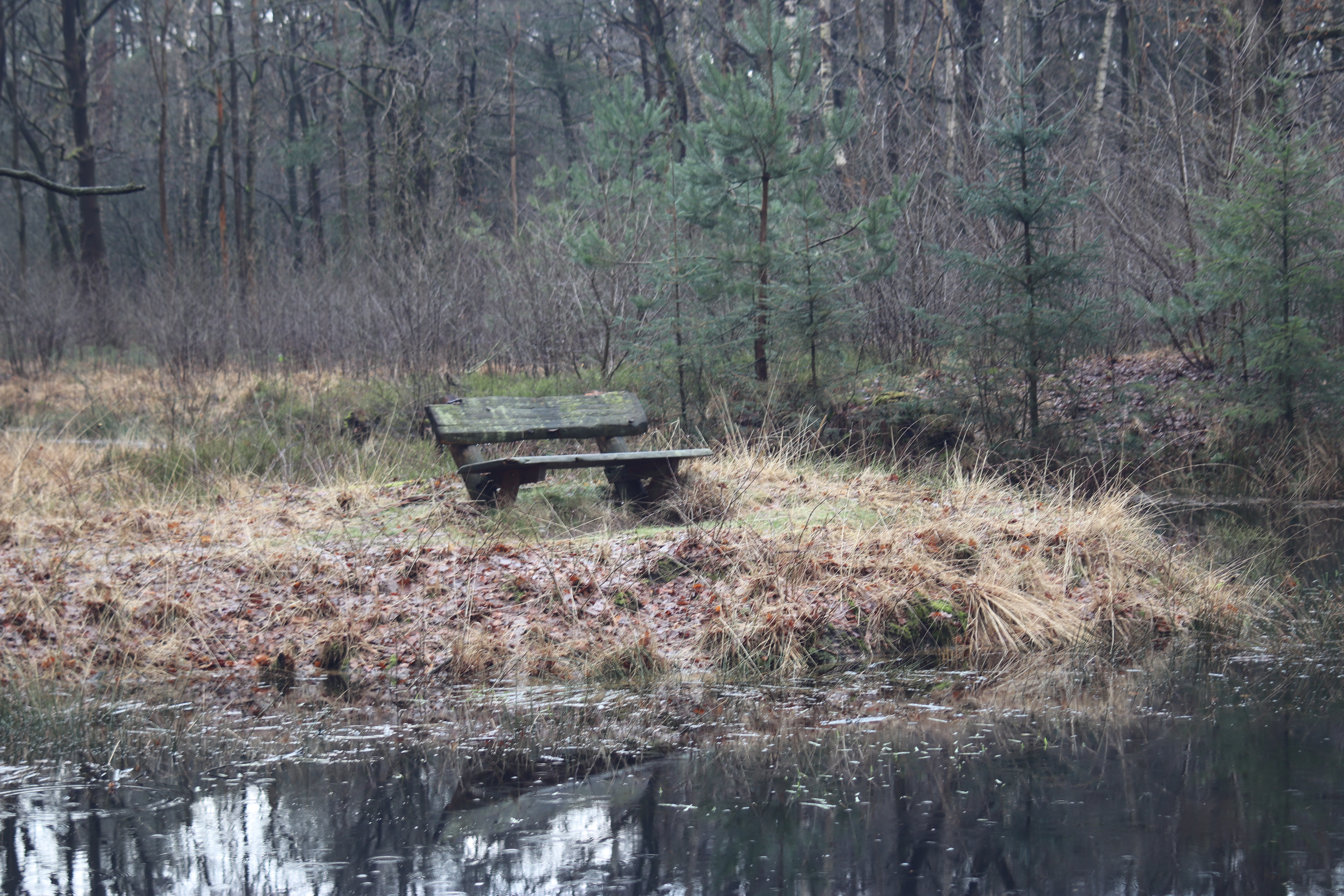
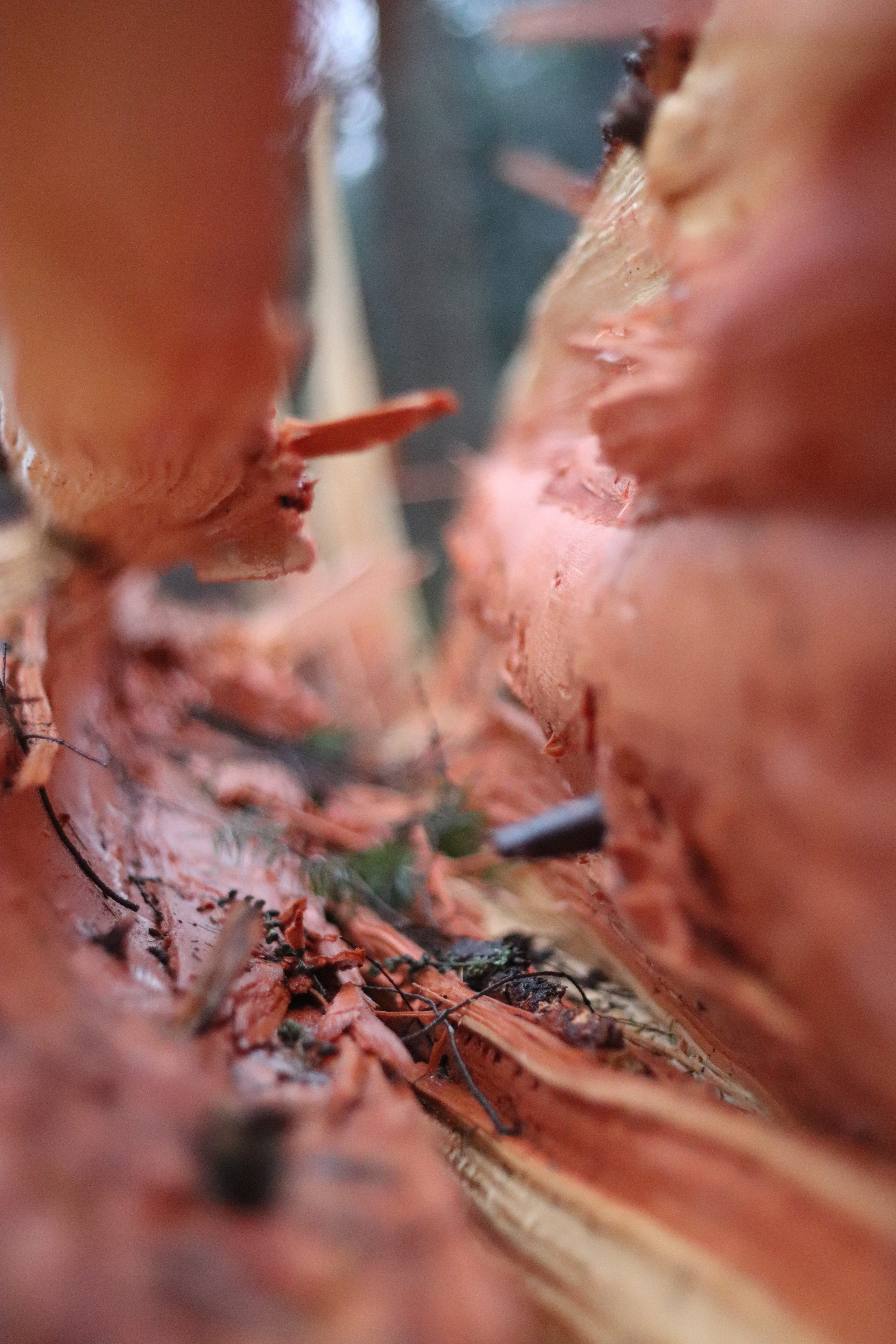
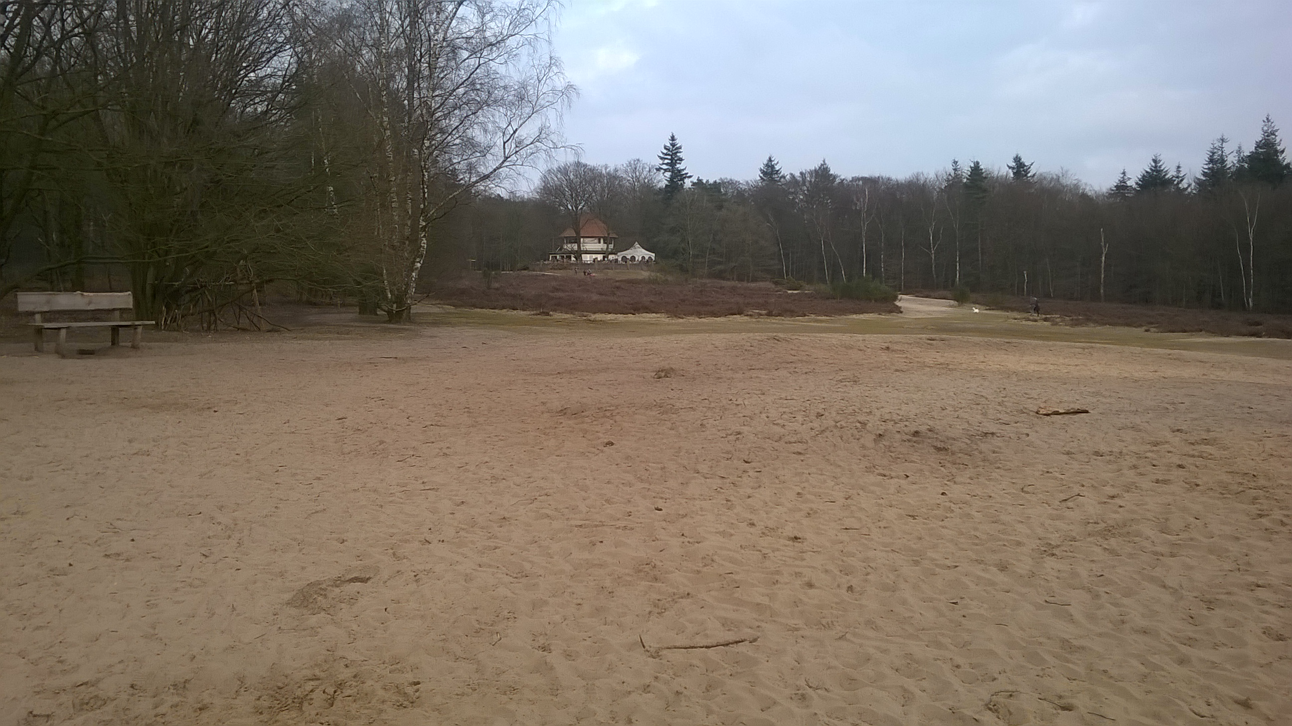
I started out late the first day, around eleven I started hiking from my parking spot along the N639. It was cold, but forecast was that the day would warm up to a nice temperature with lots of sun. I hiked across the moors of Strijbeek into Belgium, walking along a small stretch of the smugglers road. The ice and the sun gave away nice pictures

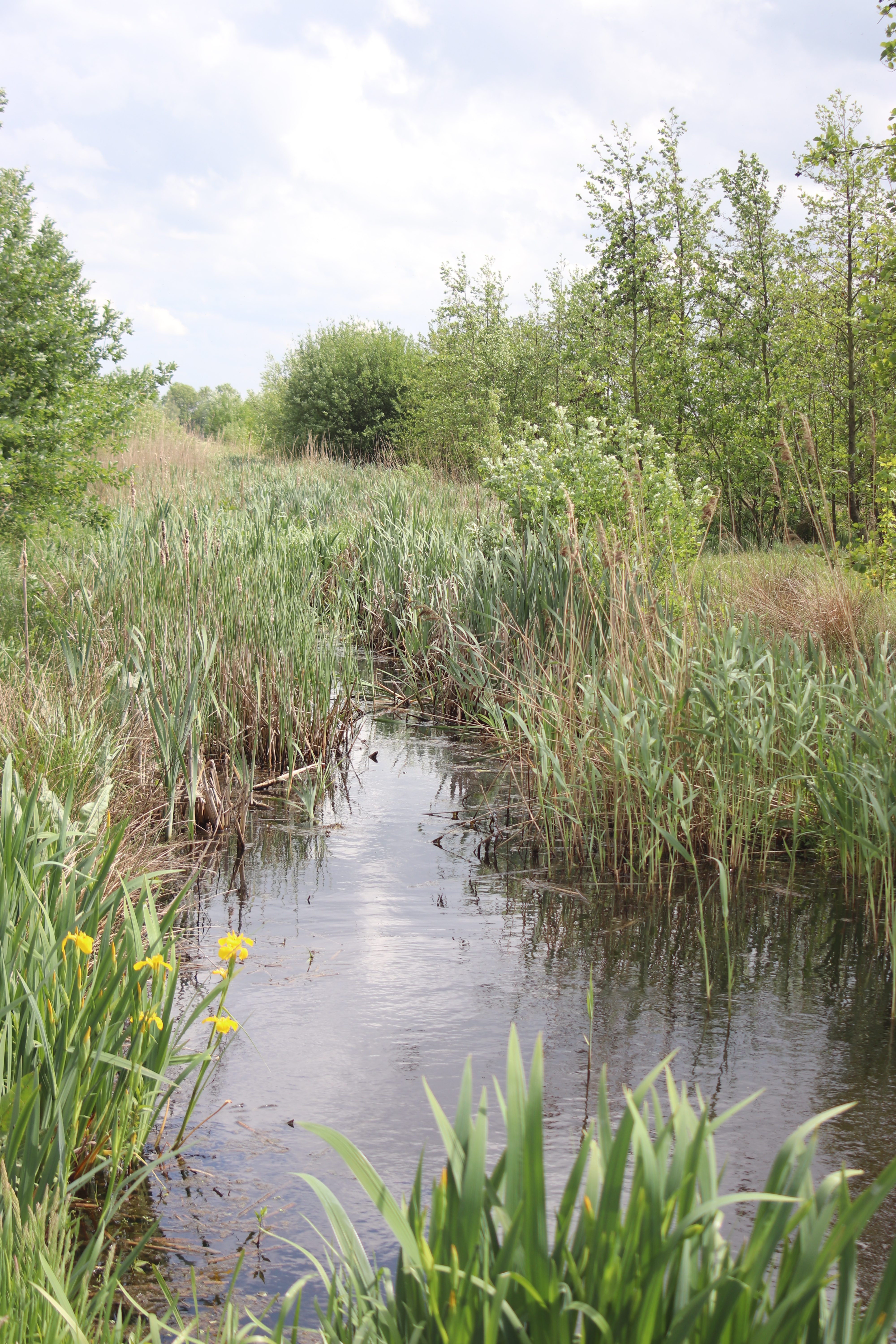
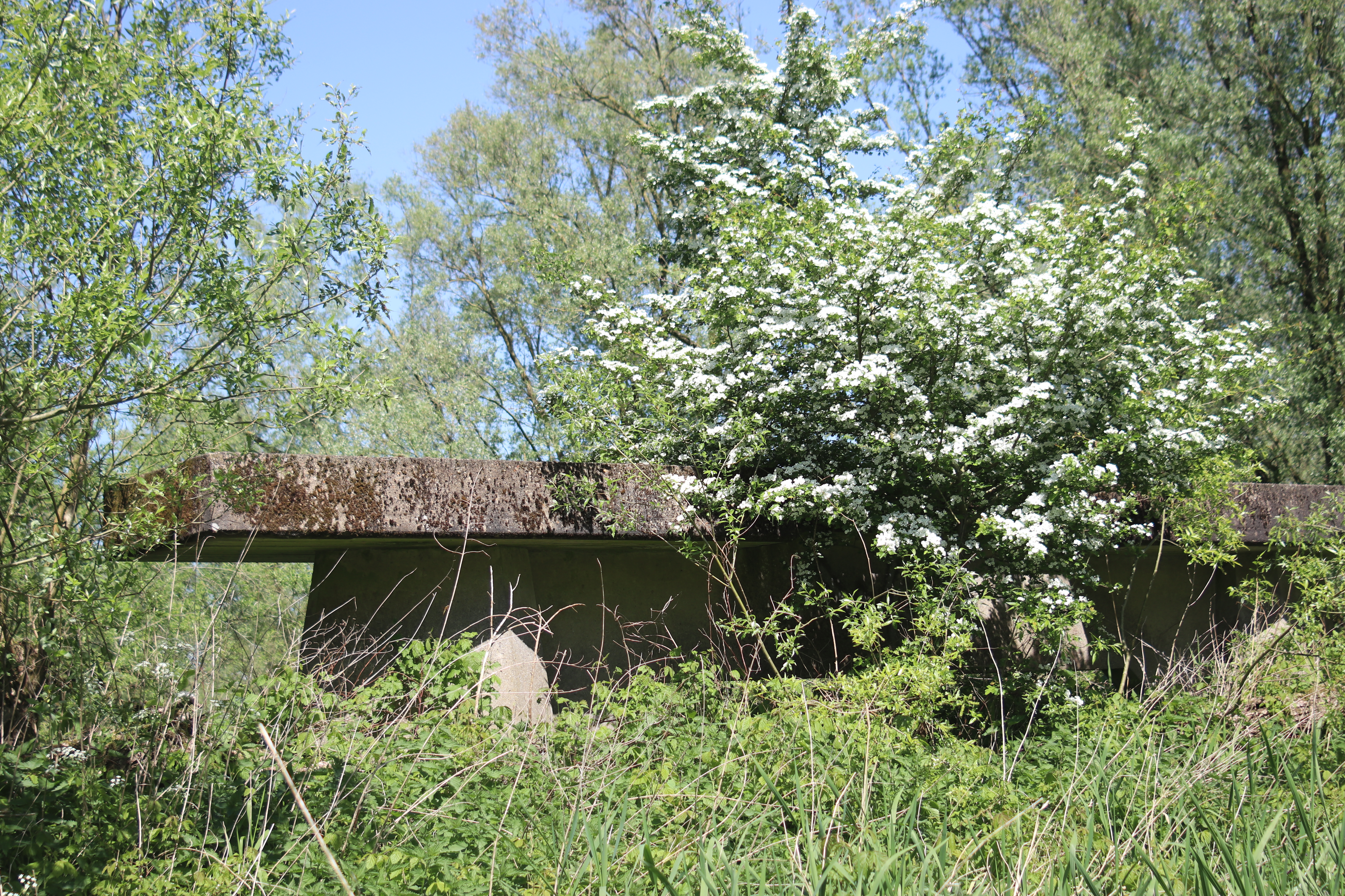
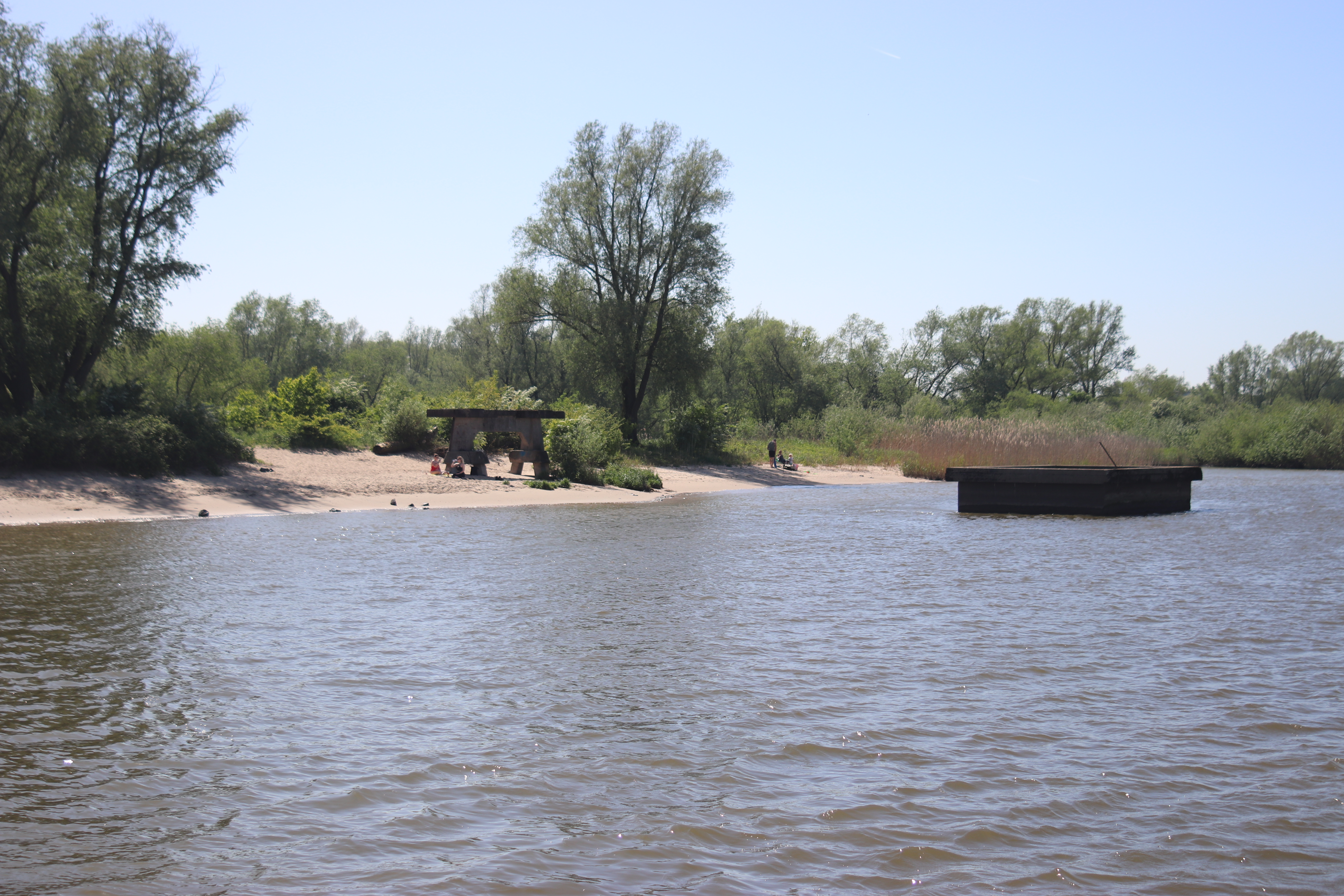
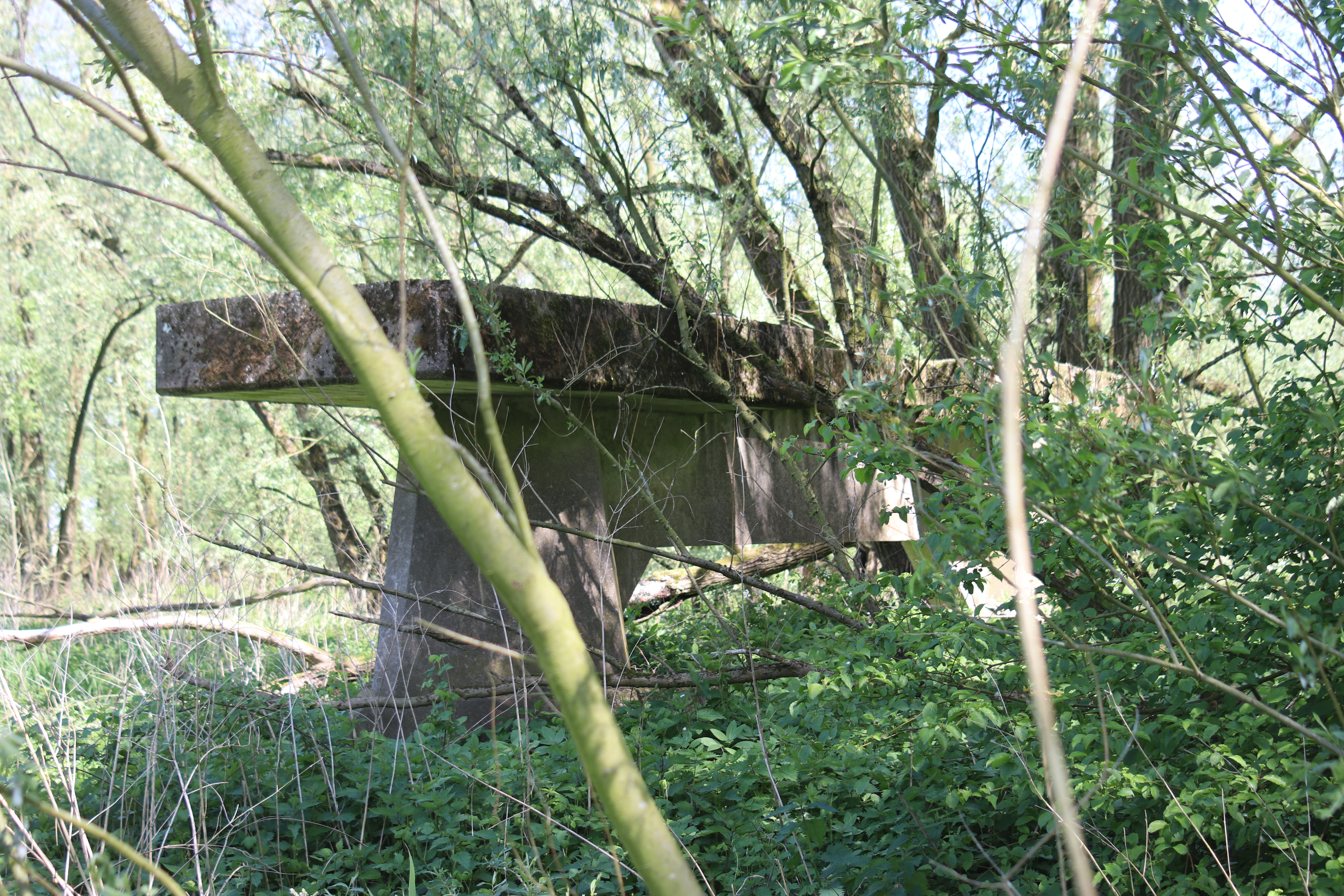
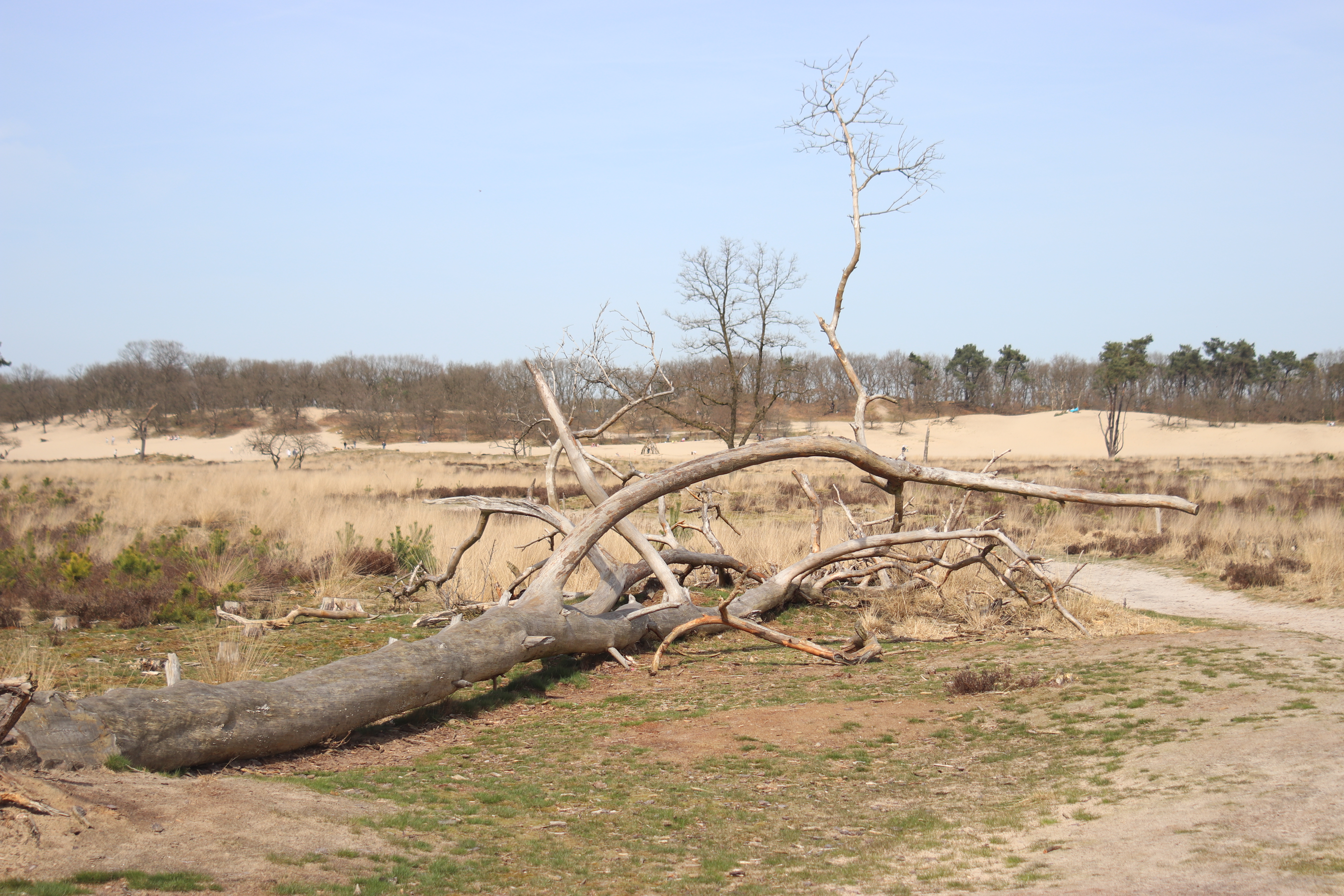
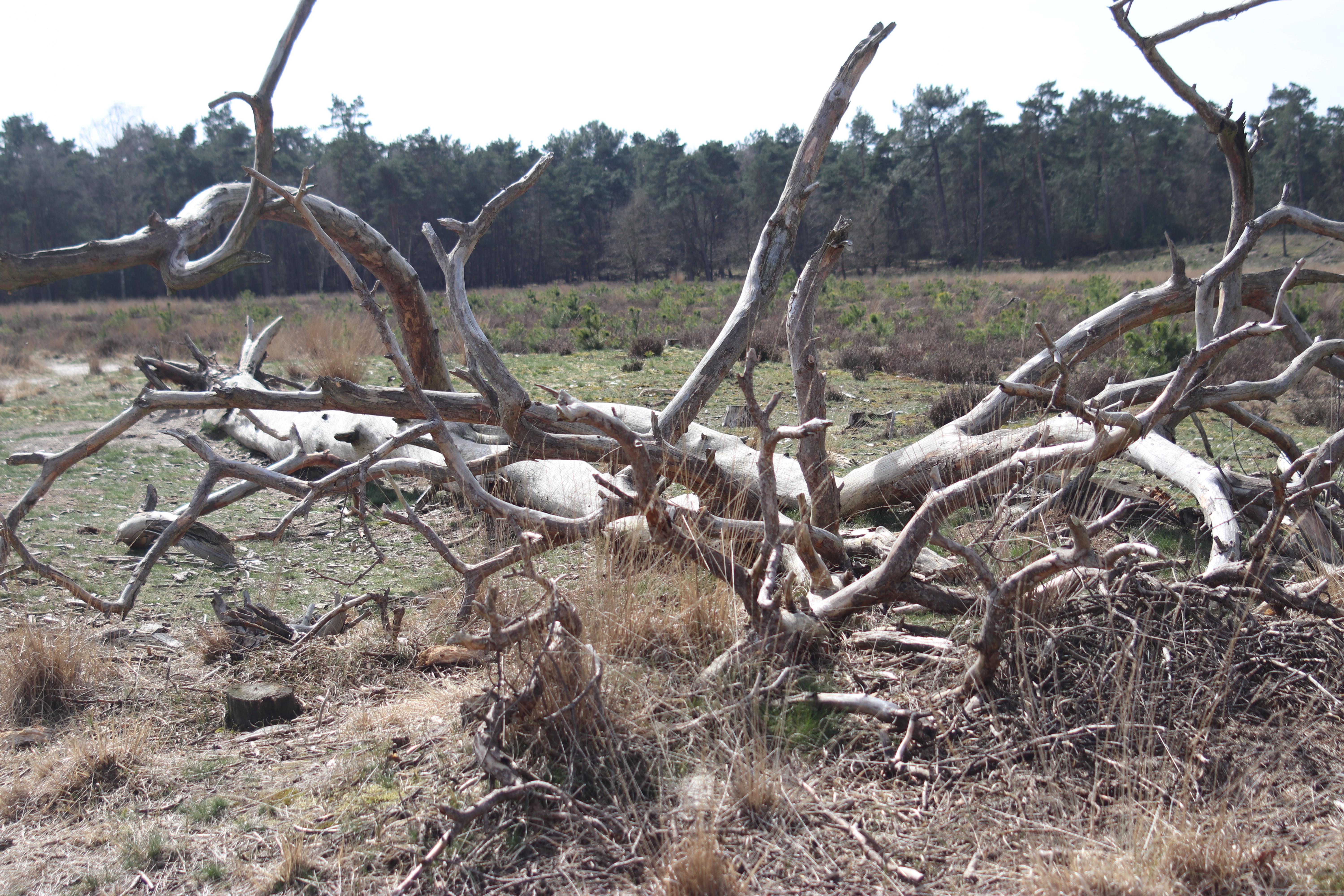
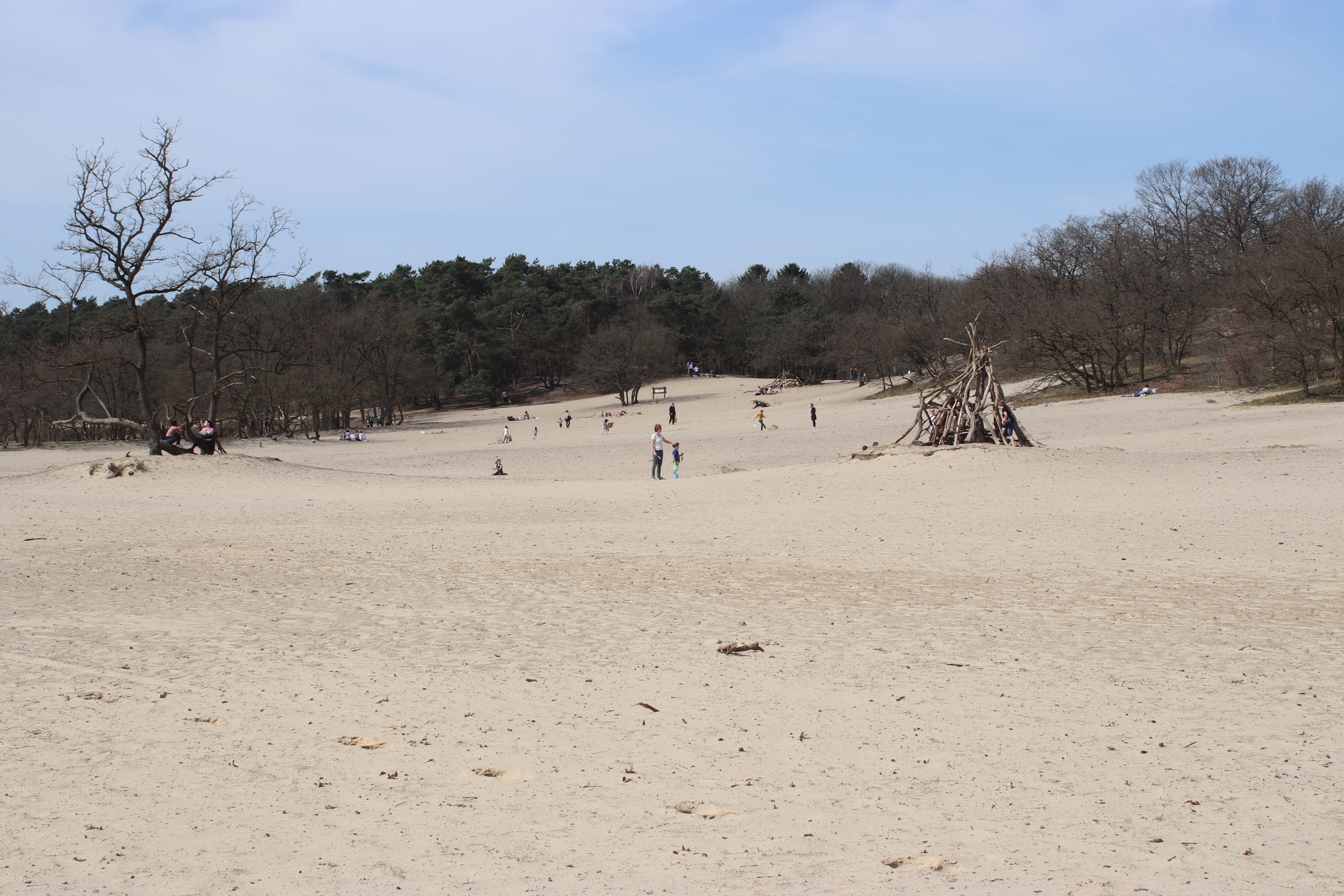
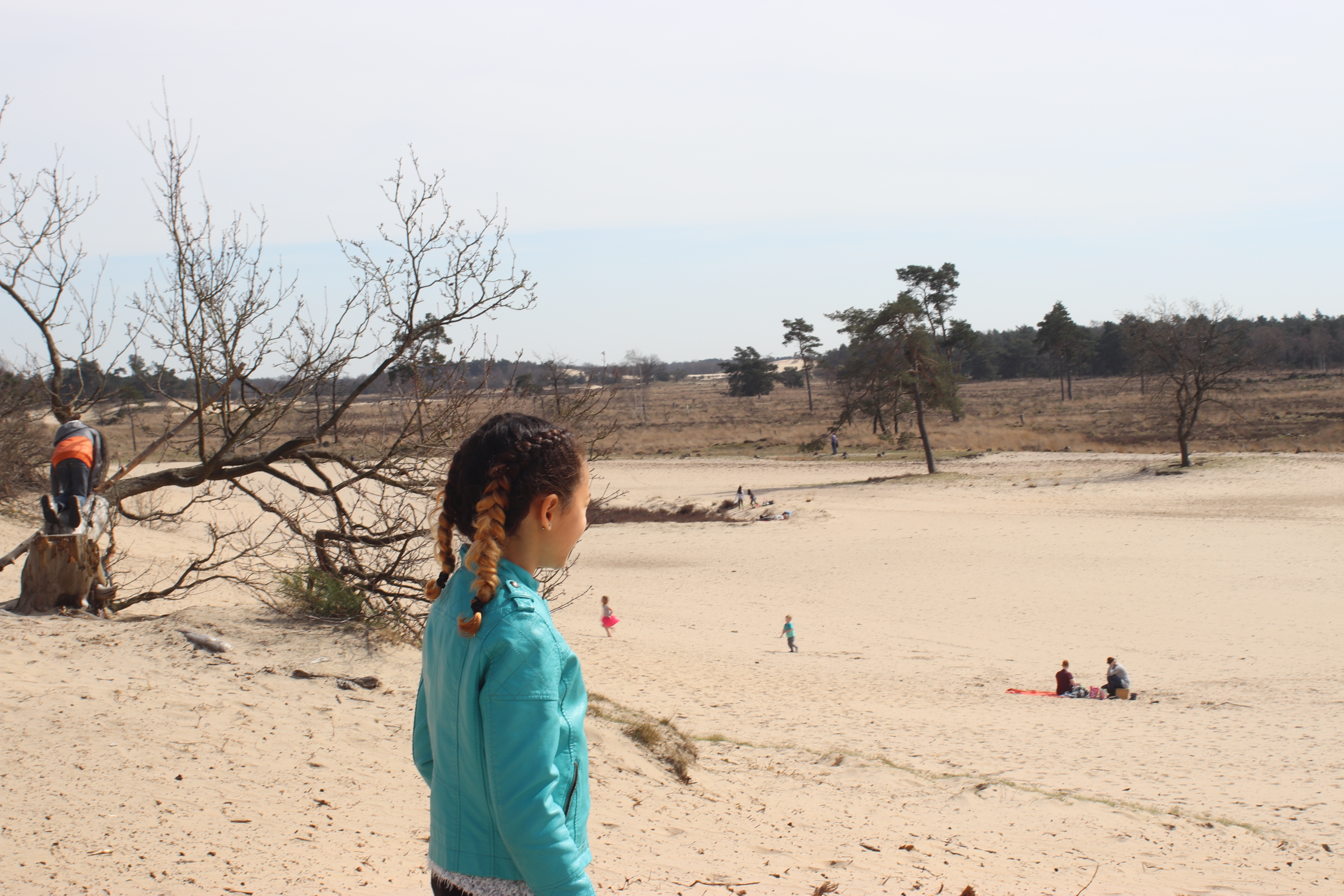
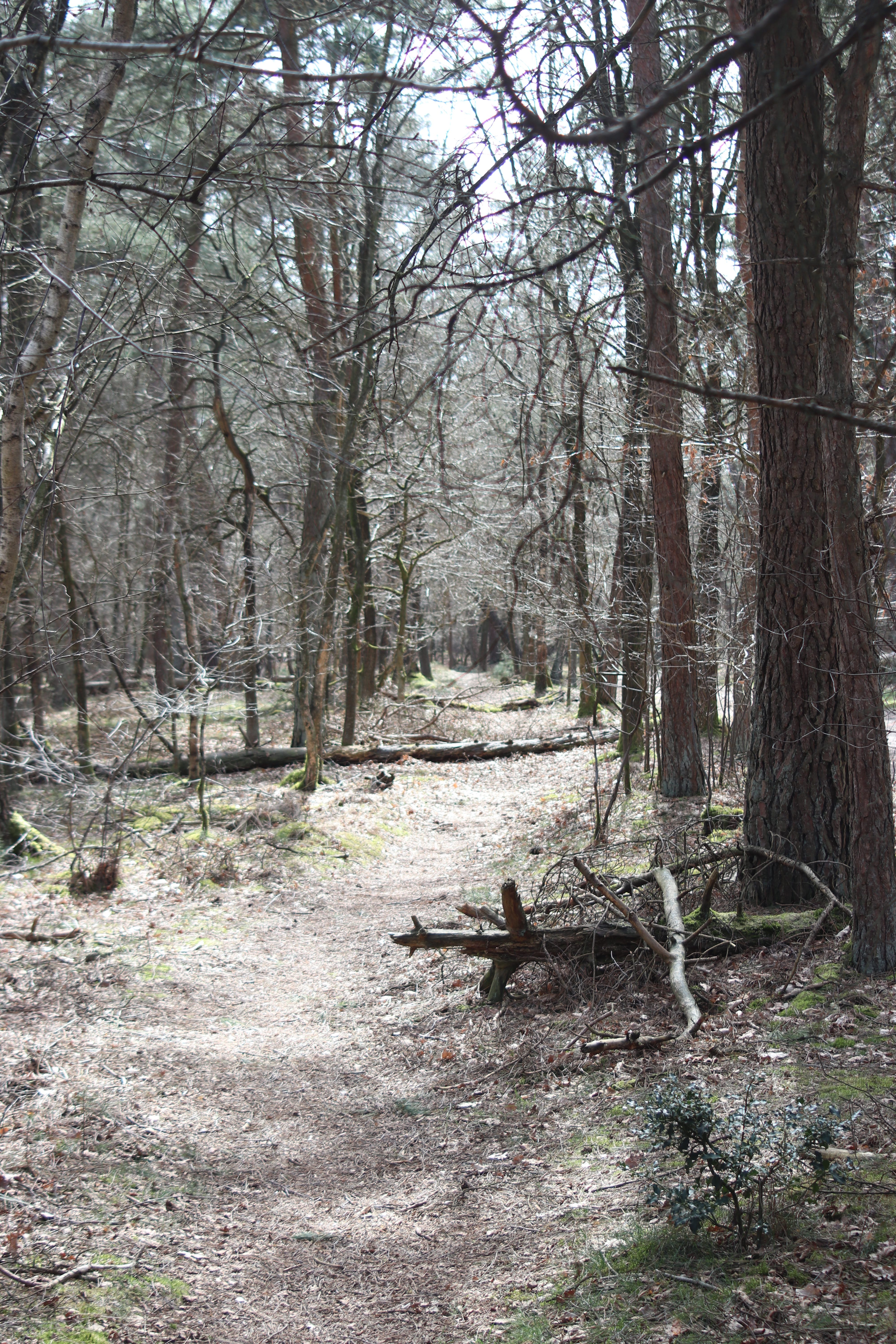
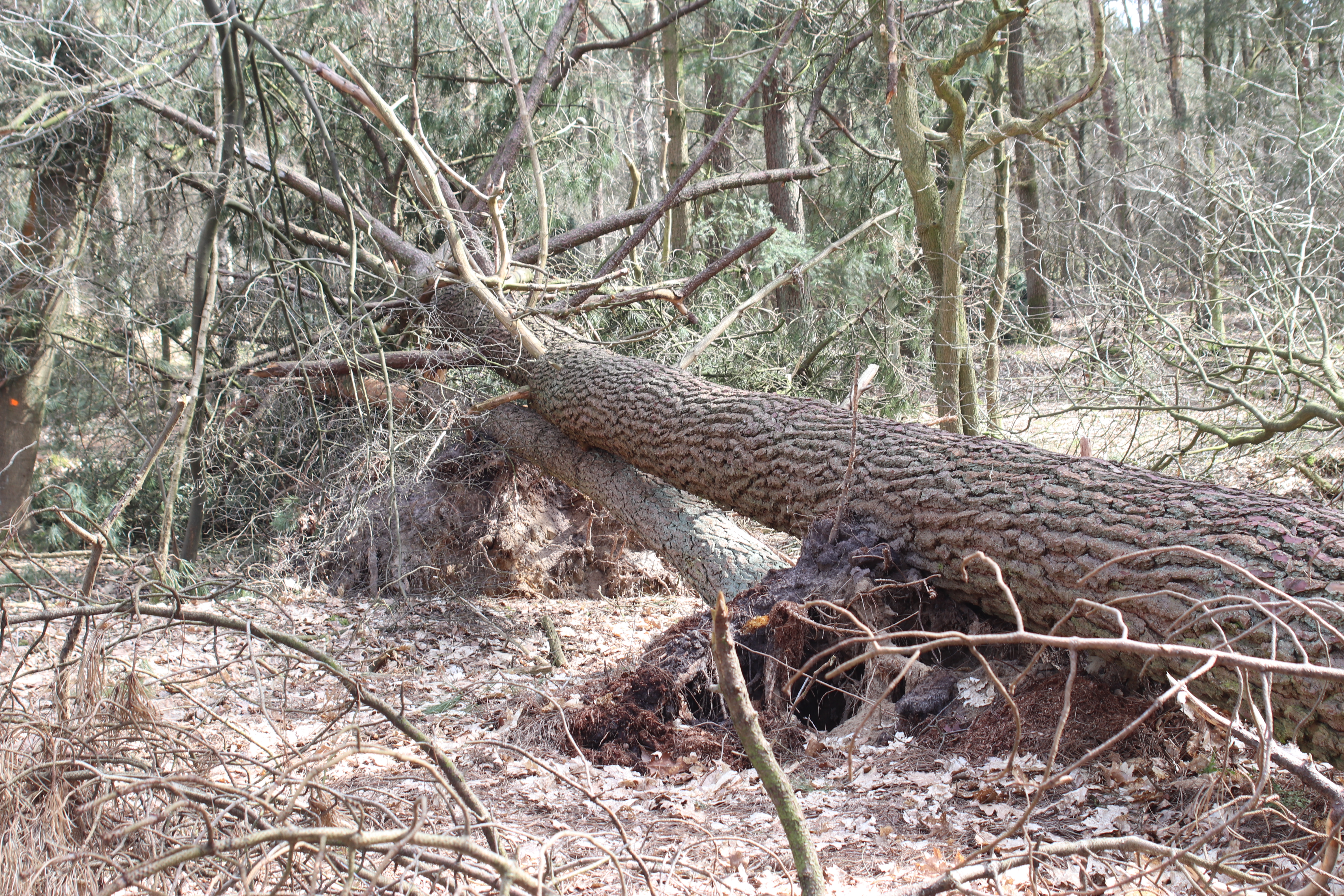
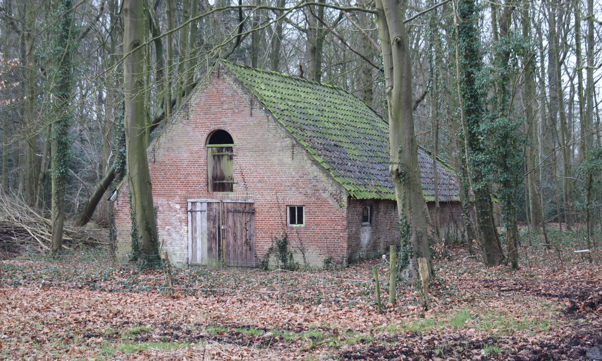
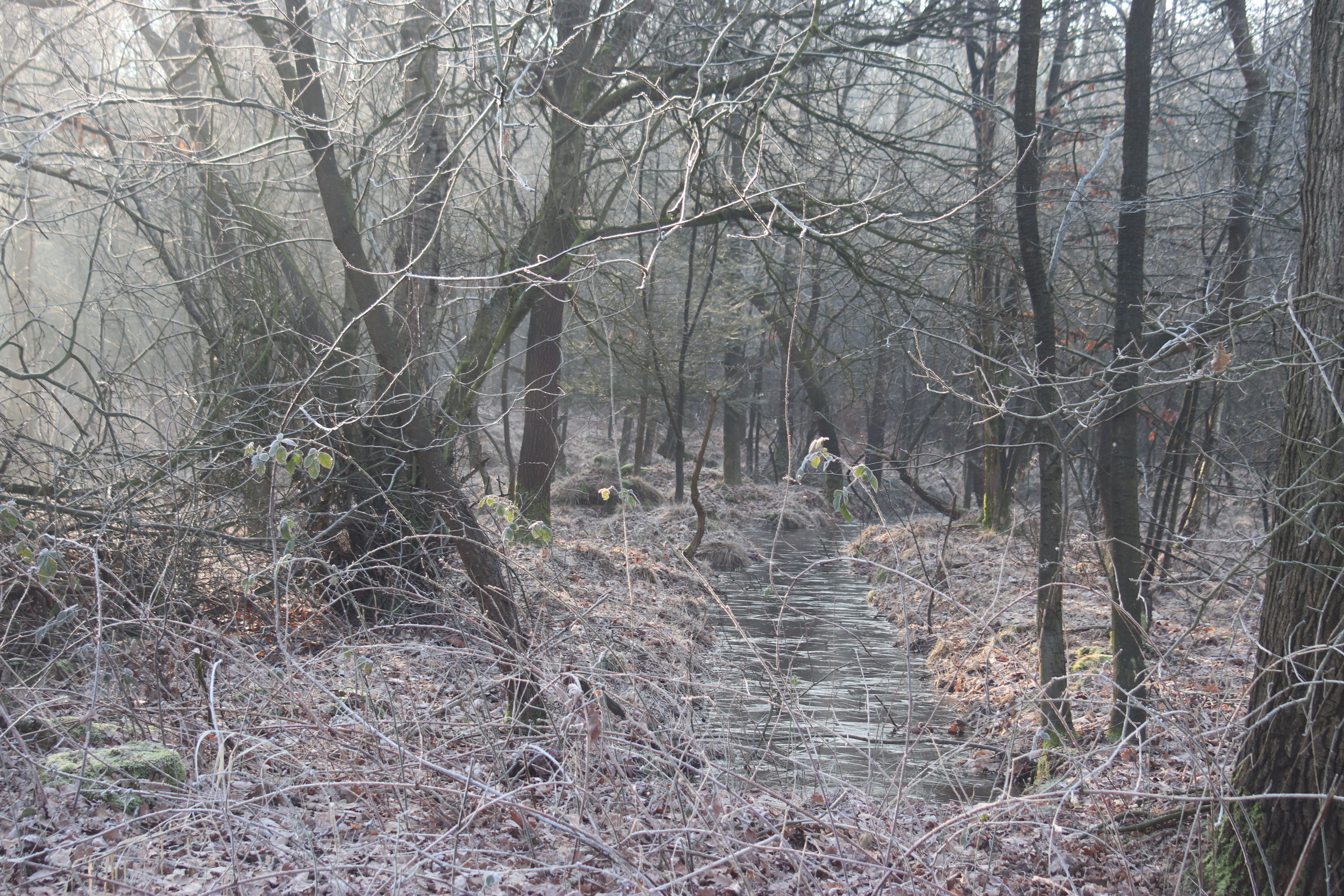
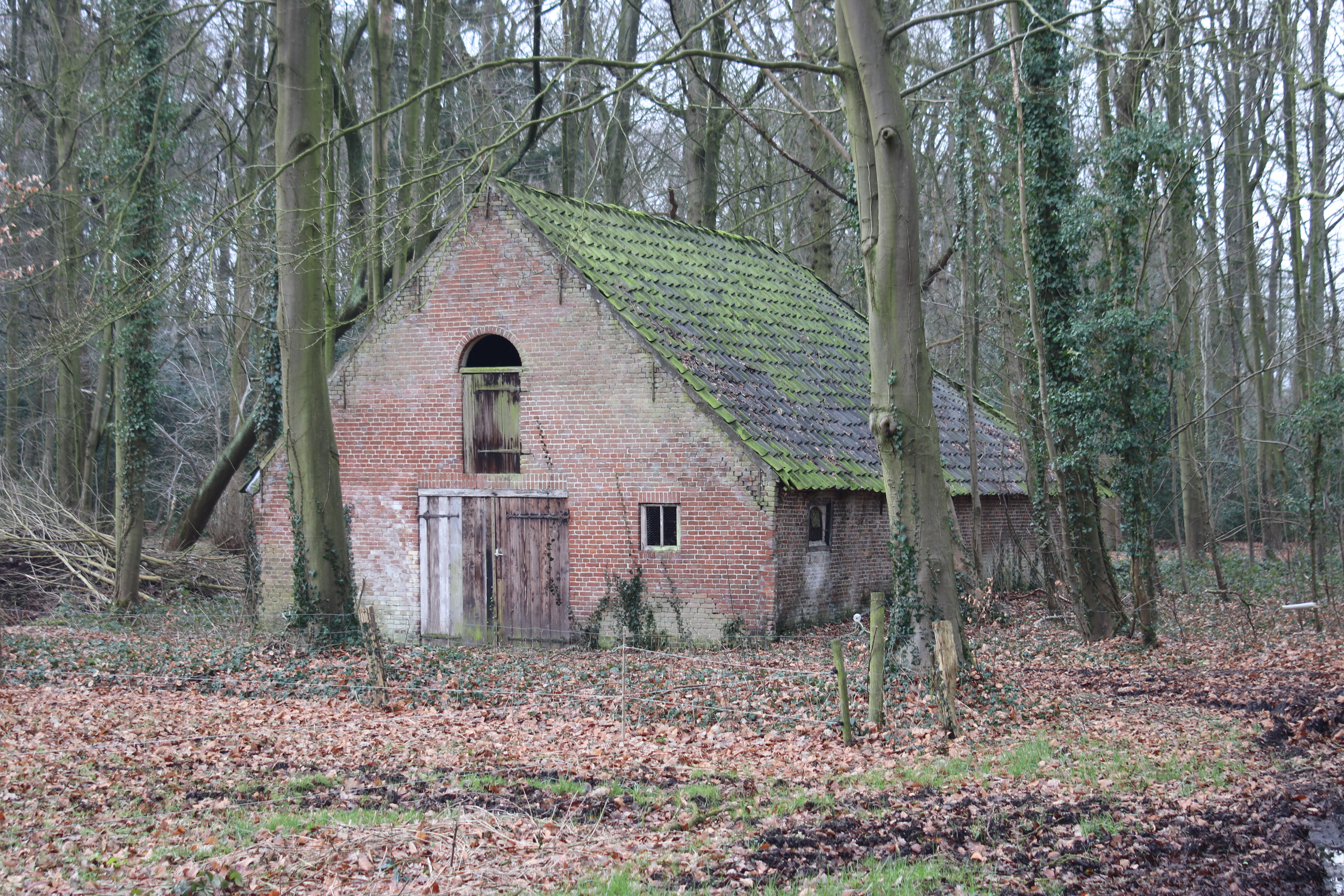
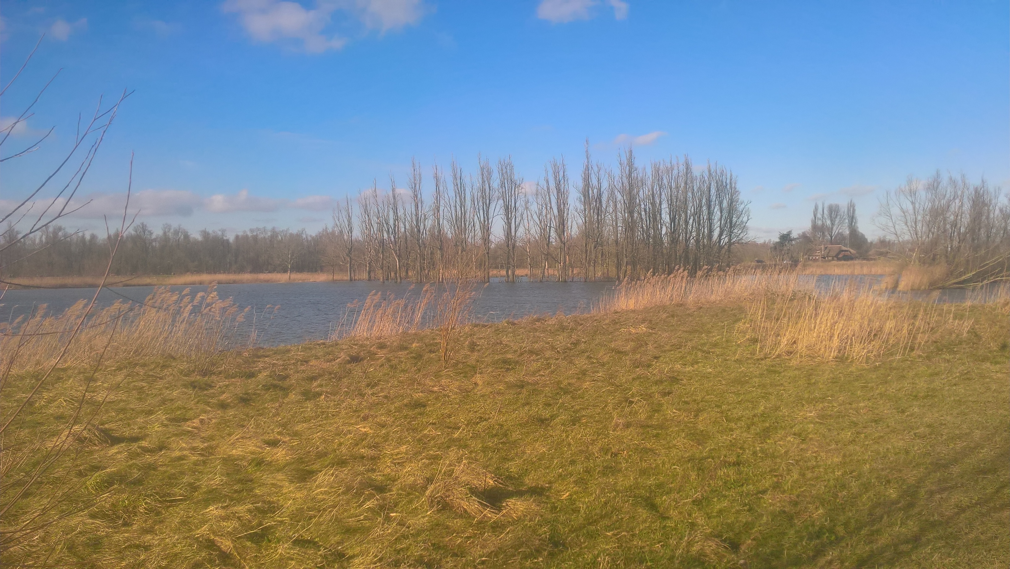
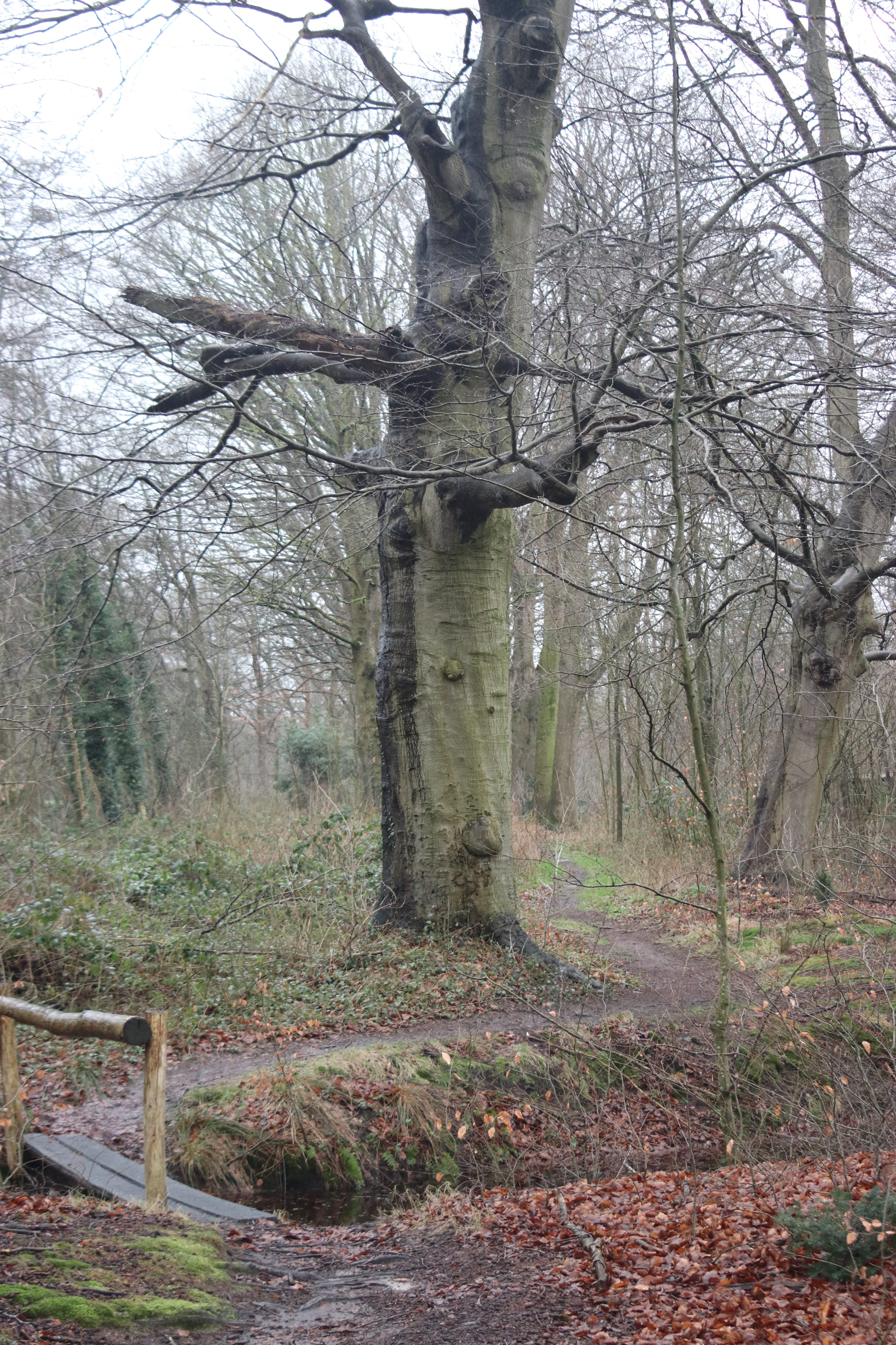
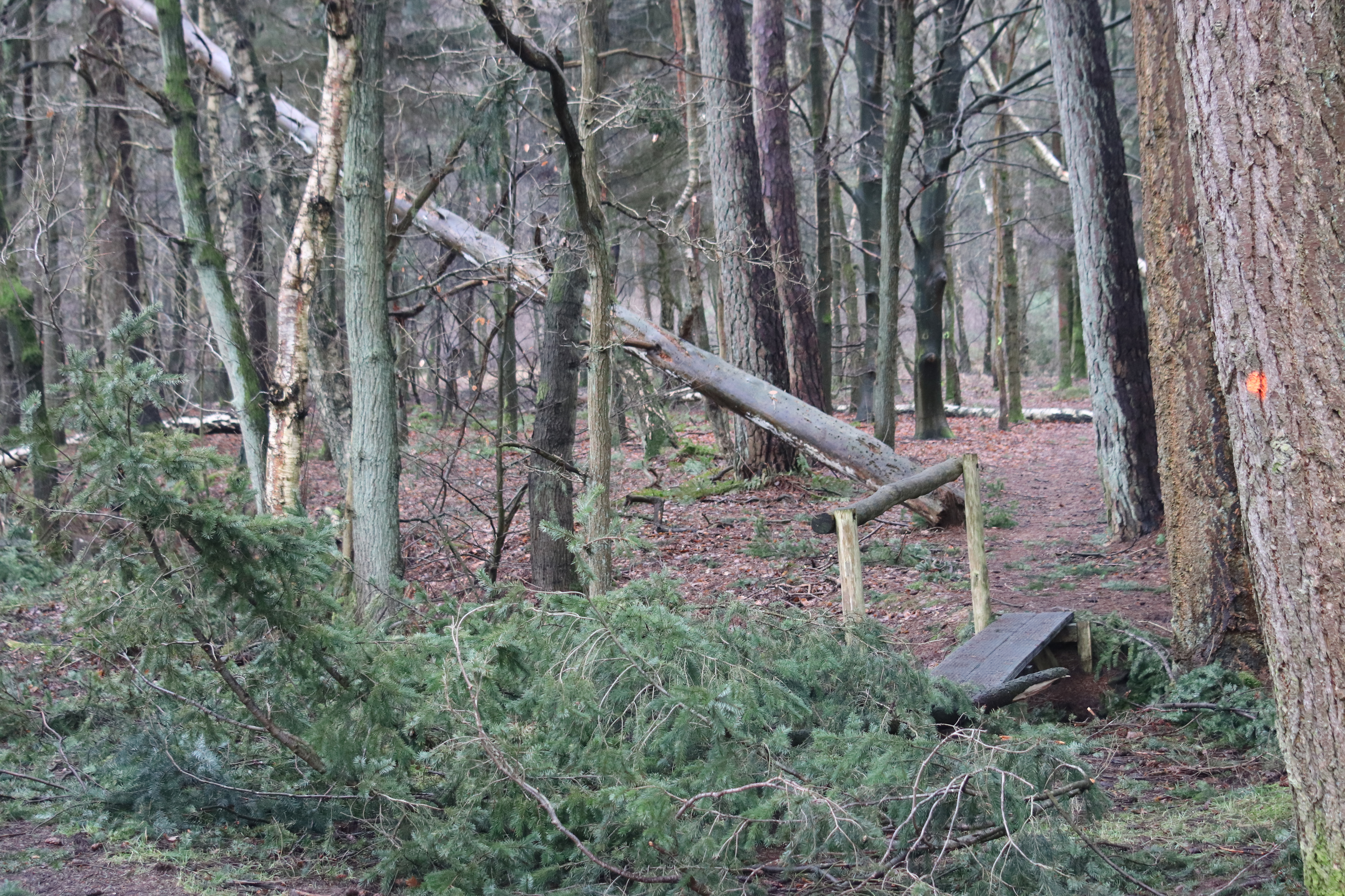
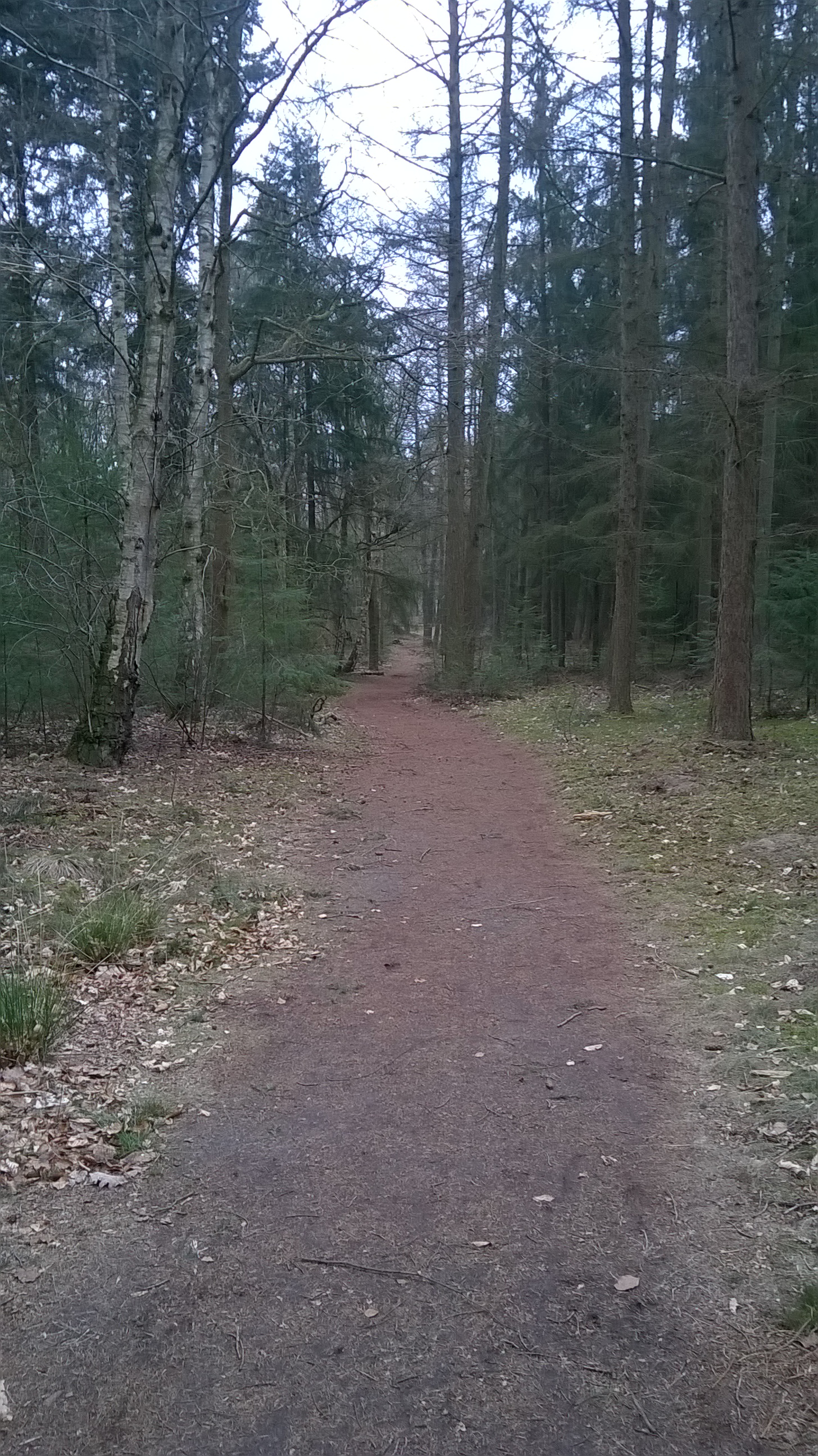
From Belgium I had to hike a stretch of less natural environment, sandy roads between meadows. These roads brought me back to nature in the woods of Chaam. Walking through these woods I started looking for the first ‘pole-camp-spot’. This spot already had some campers, I would have fitted without problem, but I wanted to be alone, so I started out for the second spot.

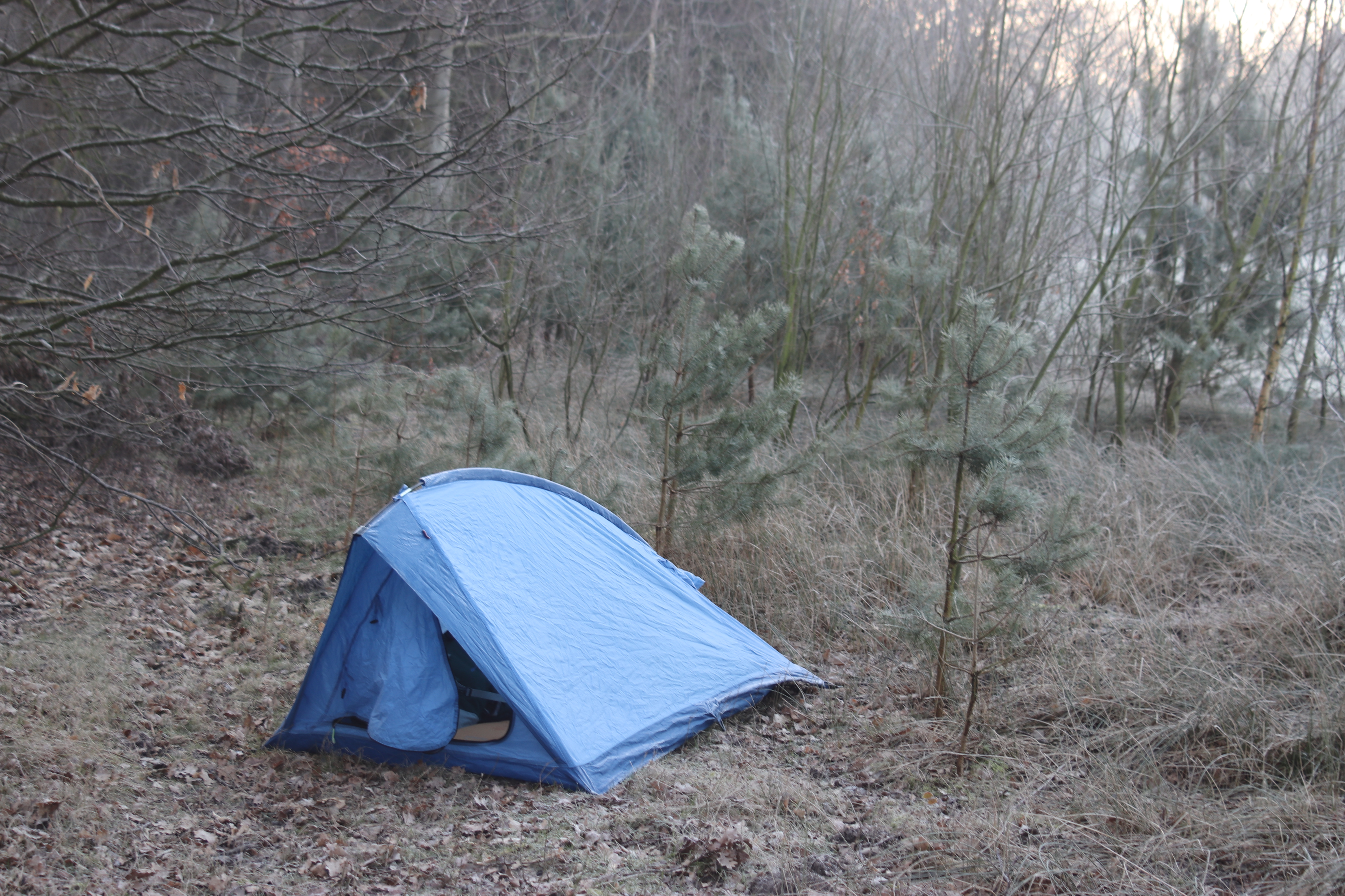
3 kilometers further was the second ‘pole-camp-spot’. On the way there, two deers and some rabbits crossed the road about hundred meters in front of me. When I found the camping spot, there were campers on this one as well. So I walked on until I found a nice spot where I could truly be alone.

Temperature was dropping very fast. I pitched the tent as fast as I could and installed my sleeping mat and bag. Forecast was that it would be very cold that night, I slept with long underwear and fully clothed. The last hours of the night I actually put on my jacket as well in the sleeping bag, but by doing that I didn’t get cold.

Day 2

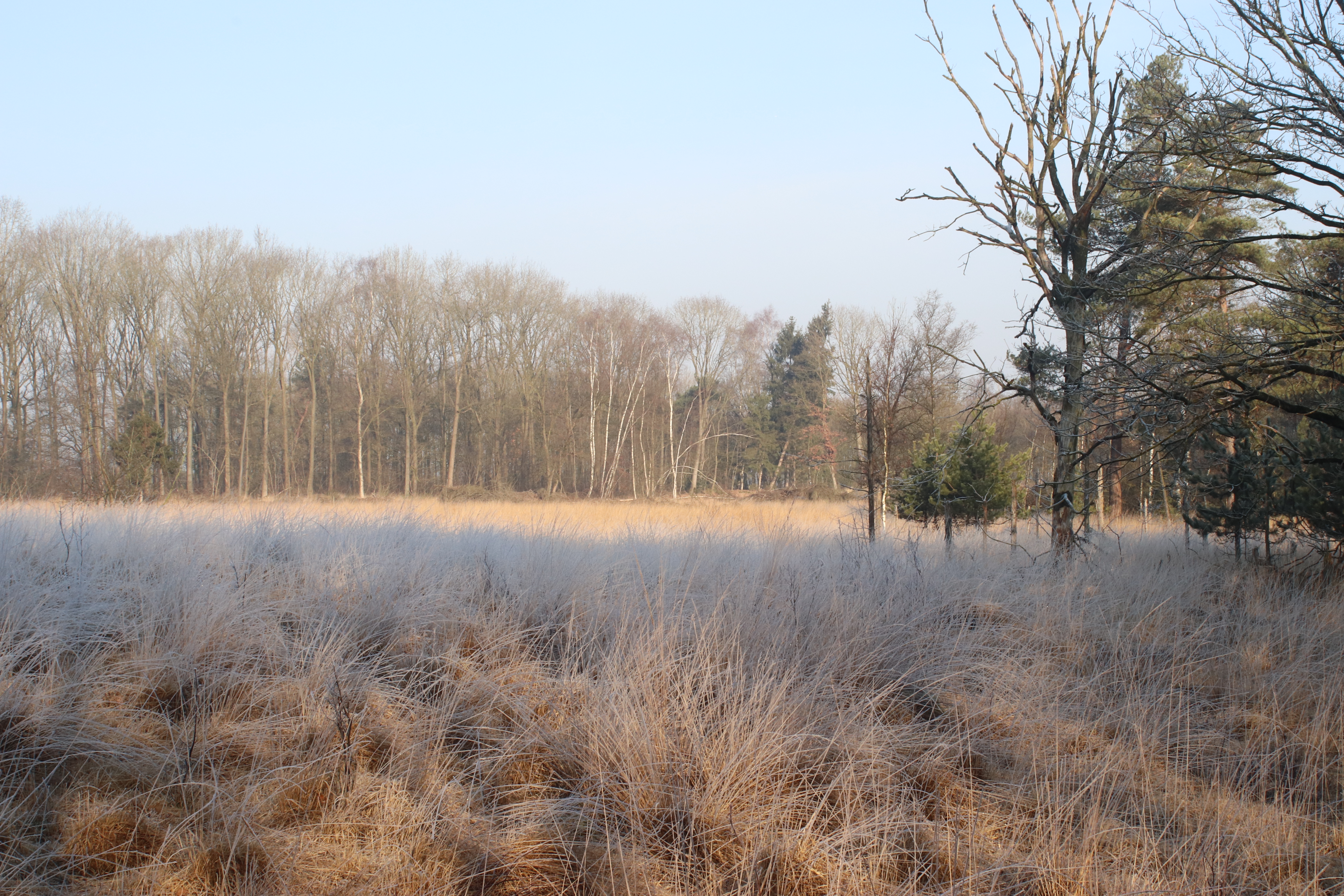
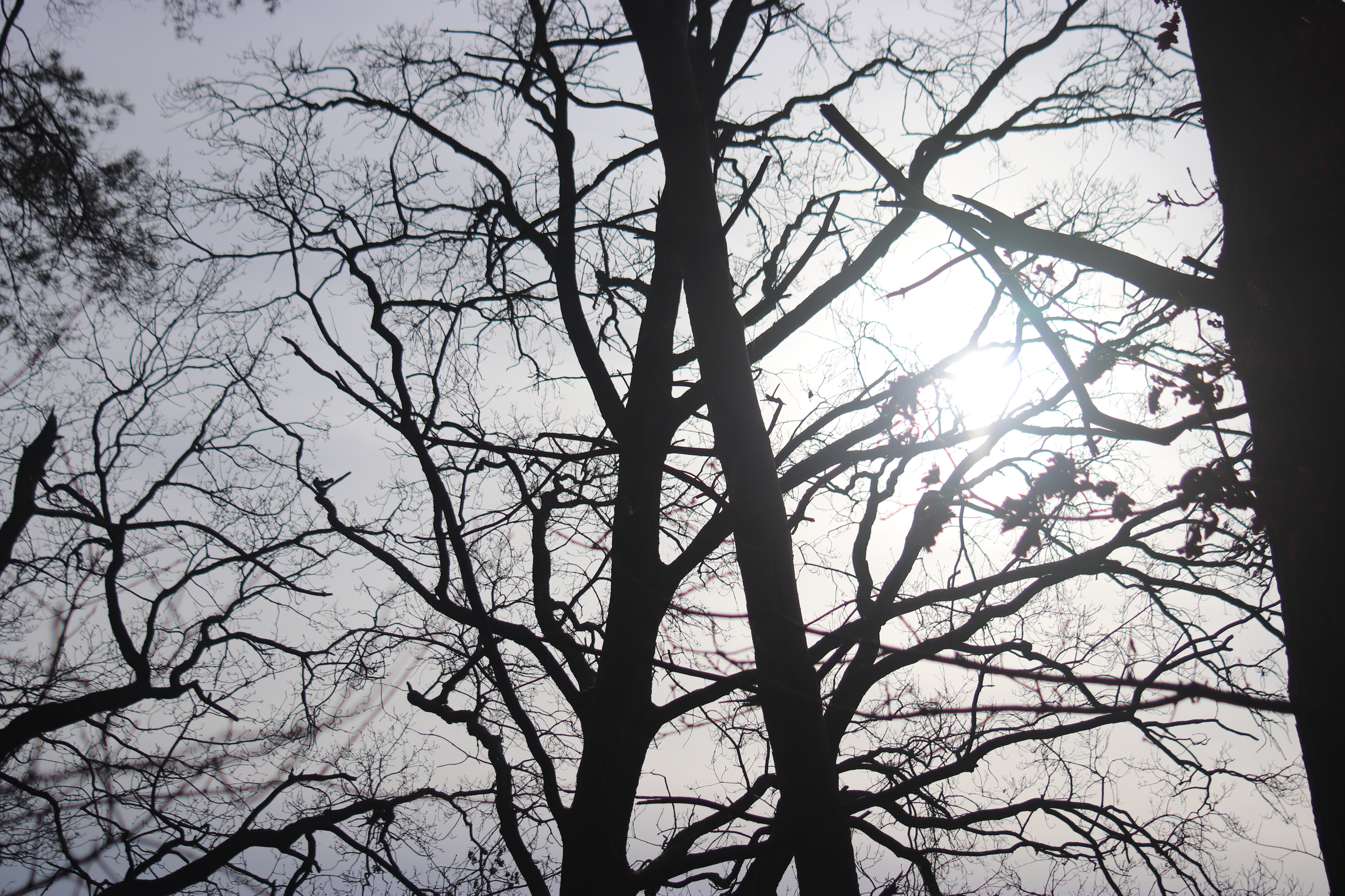
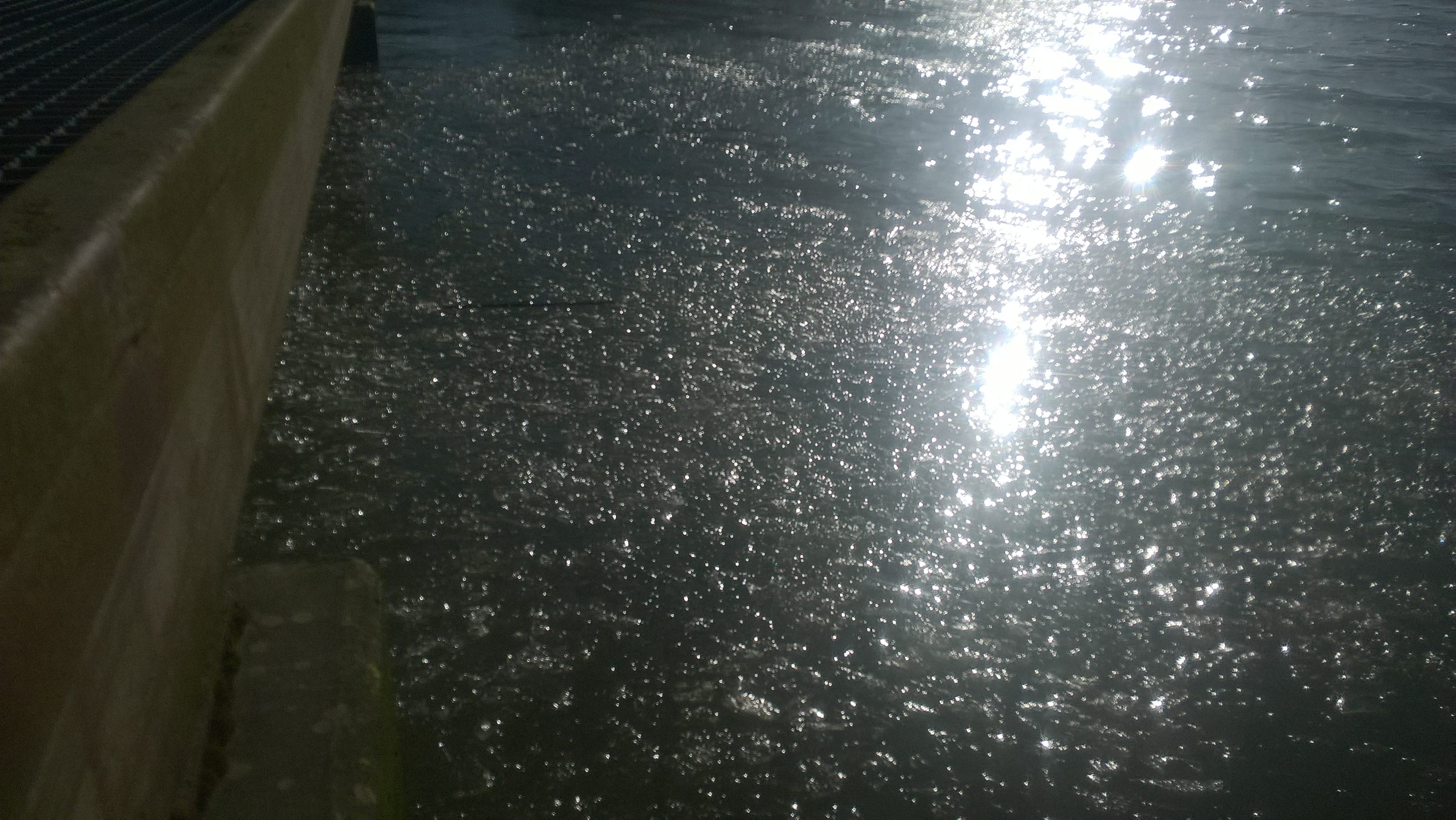
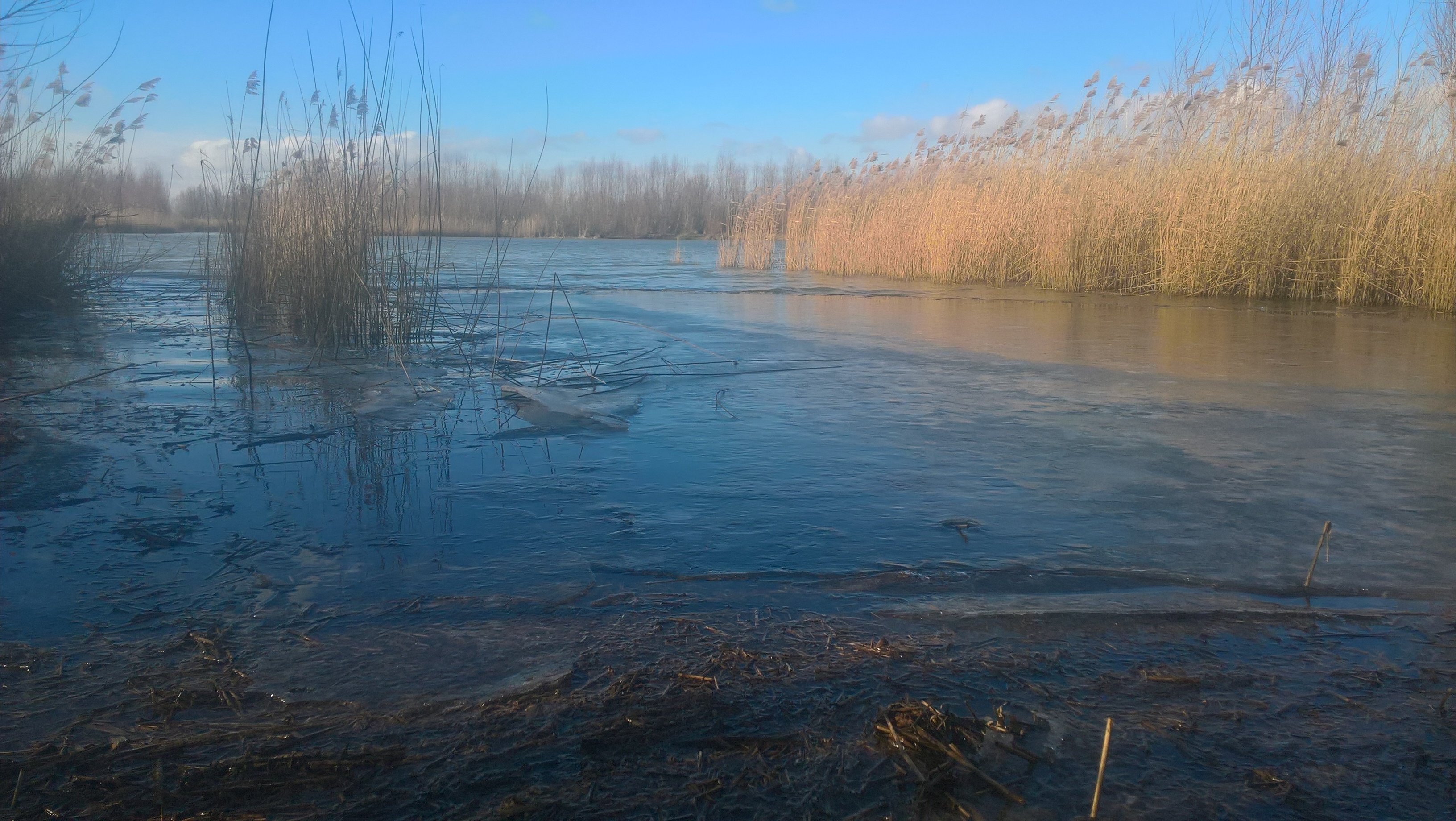
In the morning I made hot tea to warm up. Because of the cold I didn’t sit down for breakfast but packed my stuff and started the last kilometers of the trip. It would be about seven kilometers. This second day started cold as well, and warmed up as fast as the day before. I shot some nice pictures with great lights from the sun, beautiful frost and ice.

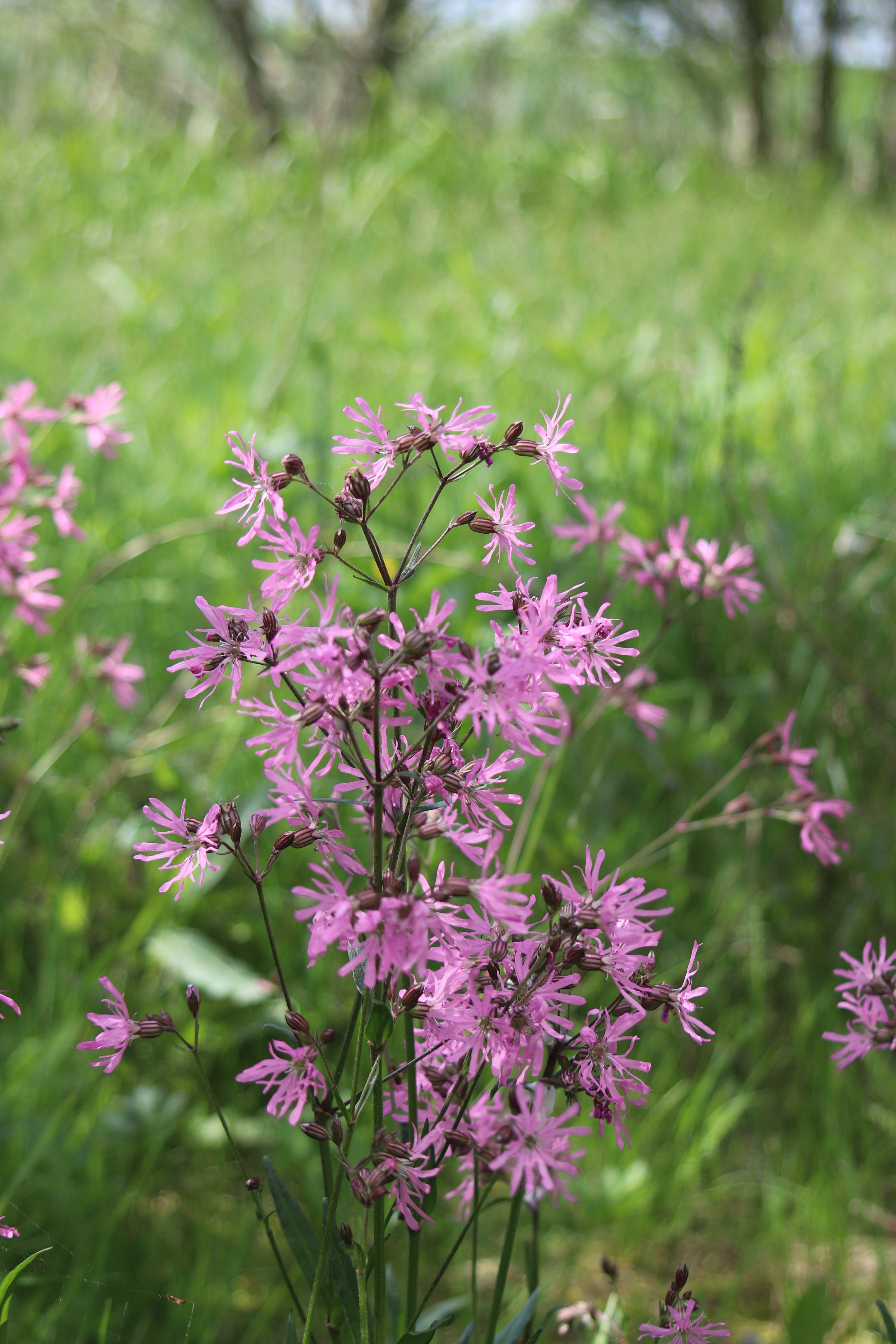
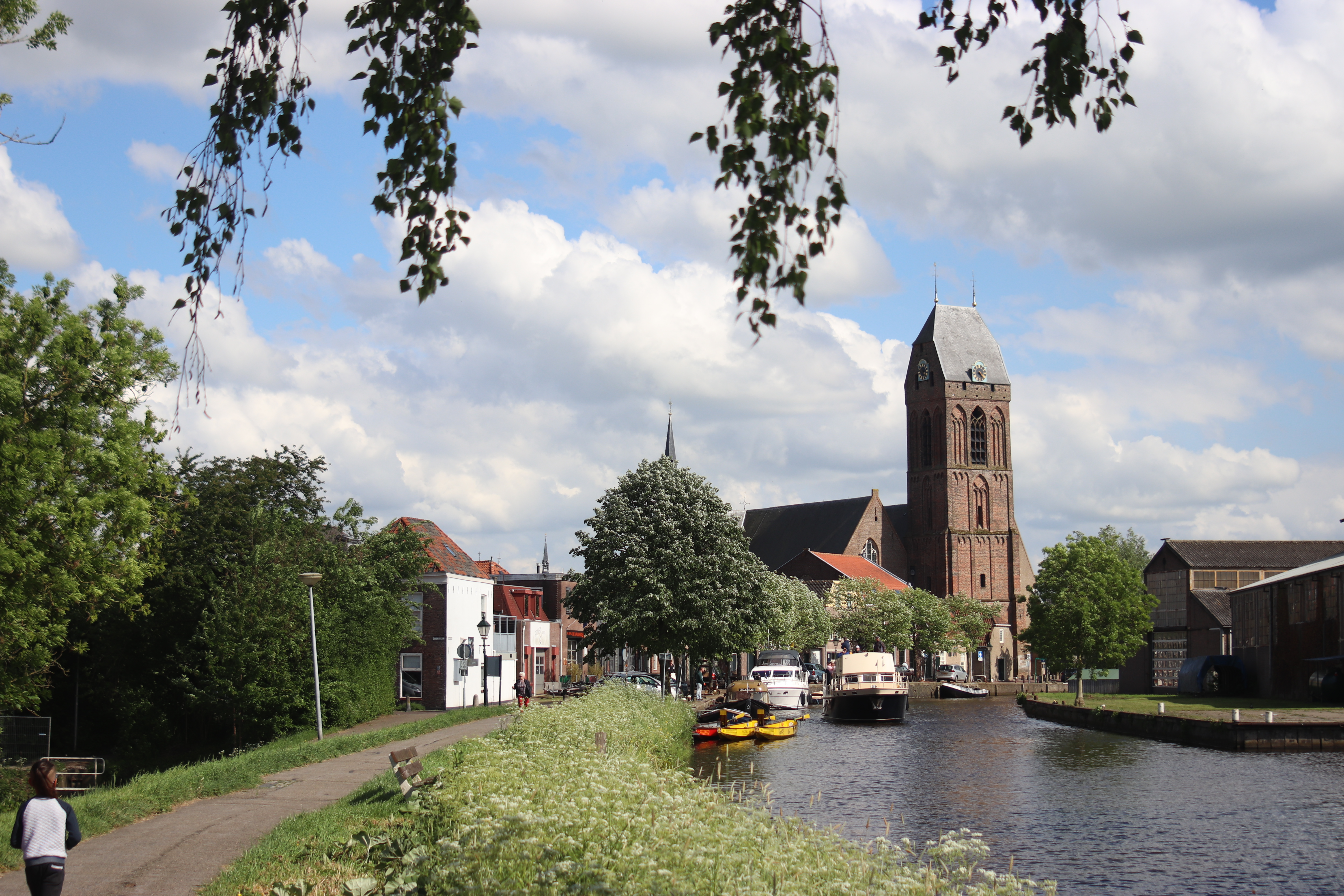
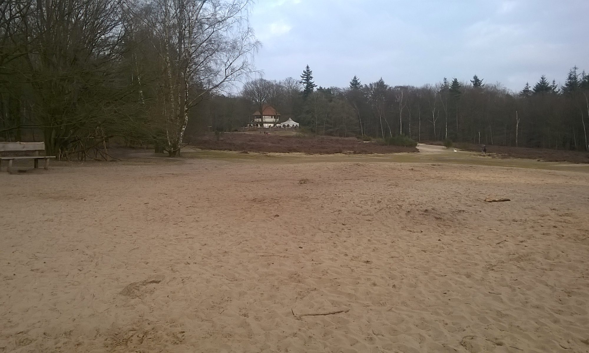
I would really recommend The woods of Chaam and the moors of Strijbeek to everyone who likes nature and hiking. I really enjoyed my hike here and saw beautiful scenes.


IMG_0180 IMG_0180
IMG_0180
IMG_0177 IMG_0177
IMG_0177
IMG_0175 IMG_0175
IMG_0175
IMG_0172 IMG_0172
IMG_0172
IMG_0167 IMG_0167
IMG_0167
IMG_0154 IMG_0154
IMG_0154
IMG_0143 IMG_0143
IMG_0143
IMG_0142 IMG_0142
IMG_0142
IMG_0137 IMG_0137
IMG_0137


Total distance: 24954 m


Total distance: 7336 m

Biesbosch

‘De Biesbosch’ is a wet environment in the Netherlands. It is enclosed by two rivers and floods now and then when water is high. Beavers live here, as do a lot of birds and wildlife.

Today I went for a short walk with my kids. Testing a new app to geotag pictures, but on the start I found out that my battery pack was empty. Pictures shown here are made using my mobile phone, still nice pictures though.

The app also creates a GPS route, this is the first post using a GPS route created by myself (previous ones are downloaded from the internet). As you can see, I missed the first part of the route.

We did see nice thing (see the pictures). Ice on the water, sometimes broken up by the waves, sometimes still in one piece. Trees with their feet in the water and of course the birds and wide views.


Biesbosch3 Biesbosch3
Biesbosch3
Biesbosch2 Biesbosch2
Biesbosch2
Biesbosch1 Biesbosch1
Biesbosch1


Total distance: 1567 m

Dartheide

Today I wanted to do a short hike. Drove to the ‘Utrechtse Heuvelrug’ which are some hills nearby. Parked the car and followed the route ‘Dartheide’. This area has some nice pine forests, castles and moors (heide is Dutch for moor).

I had a good hike, some rain but not to much, soaked ground but doable. Had some nice views, see the pictures.

bench bench
bench
bridge bridge
bridge
castleDarthuizen castleDarthuizen
castleDarthuizen
fallentree fallentree
fallentree
mess mess
mess
routesign routesign
routesign


Total distance: 10037 m

Doorn – Kaapse bossen

It is also good hiking in the Netherlands. These pictures are taken in de ‘Kaapse Bossen’ near Doorn.

Doorn - Kaapse Bossen - 2 Doorn - Kaapse Bossen - 2
Doorn - Kaapse Bossen - 2
Doorn - Kaapse Bossen - 1 Doorn - Kaapse Bossen - 1
Doorn - Kaapse Bossen - 1